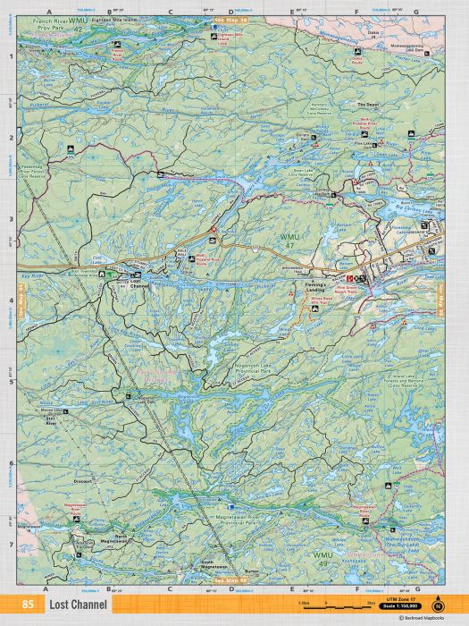
This recreation topographic map for Lost Channel highlights all the logging/resource roads, hunting areas, fishing lakes & streams, campsites, paddling routes for canoeing and kayaking, wildlife viewing areas, multi-use trails for hiking, biking, horseback riding, cross-country skiing and snowshoeing, motorized trails for ATVing and snowmobiling & more. Covering 1,090 km2 (420 mi2), this 1:50,000 scale map measures 29 x 38 km (18 x 24 mi), providing you with more topographic and recreational detail than any other map on the market. New features include enhanced Crown land data, countless new roads and trails and a wealth of recreational Points of Interest. Included on this map are Lost Channel, Noganosh Lake Provincial Park, Fleming's Landing, Magnetawan, Still River, Drocourt, The Depot and more!


