
Backroad Mapbooks Magnetawan CCON-68 Water-Resistant Tear-Resistant Topographic Map
BRMB-00204-68
$14.99
Related Items
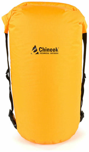

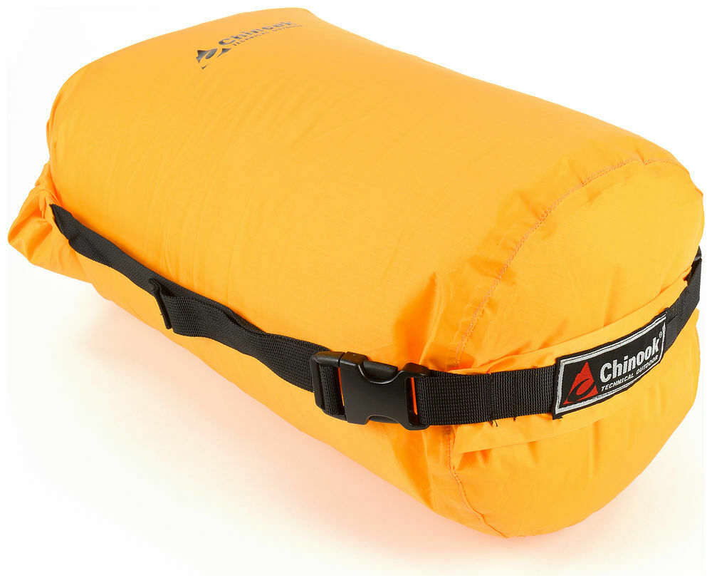
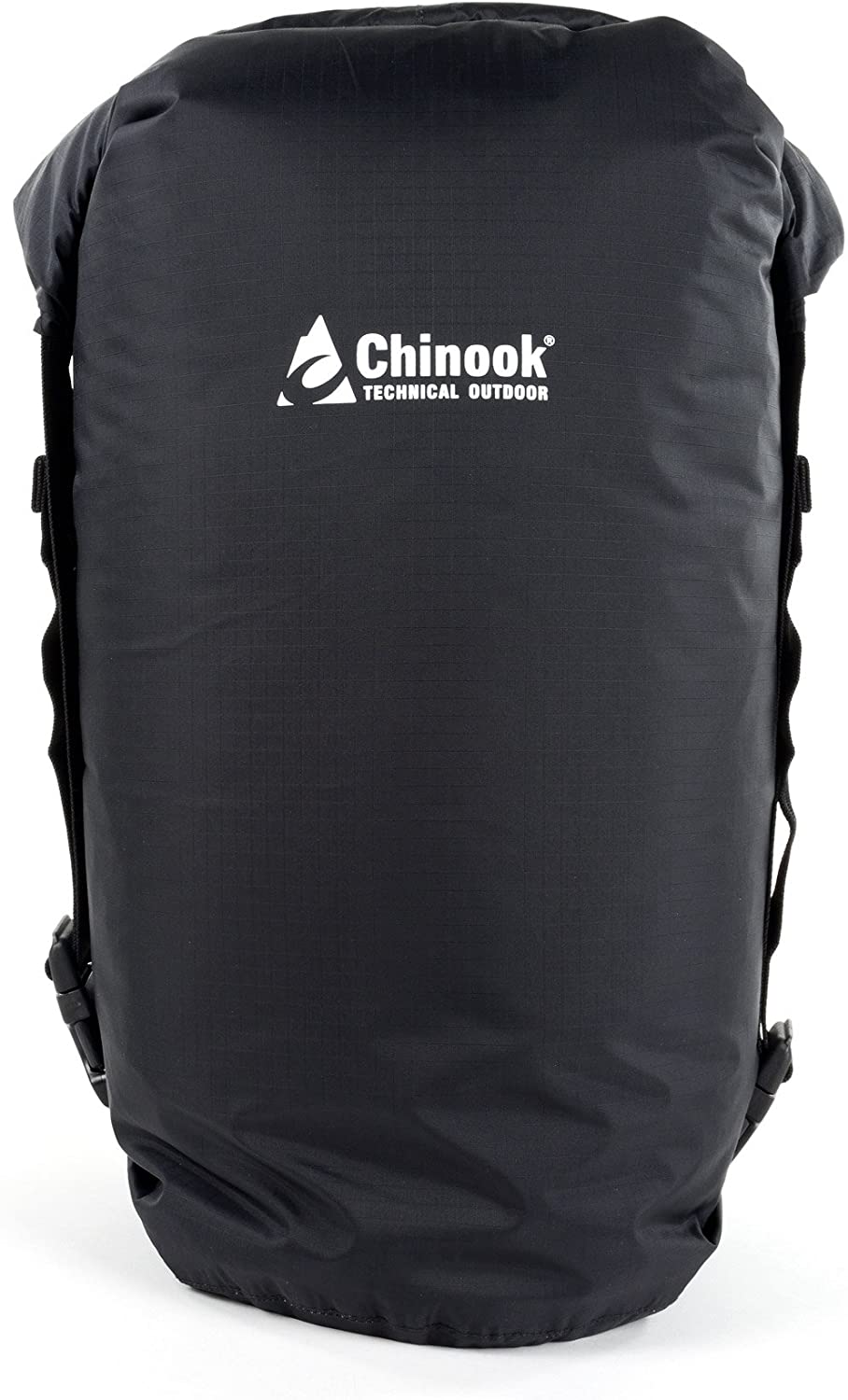
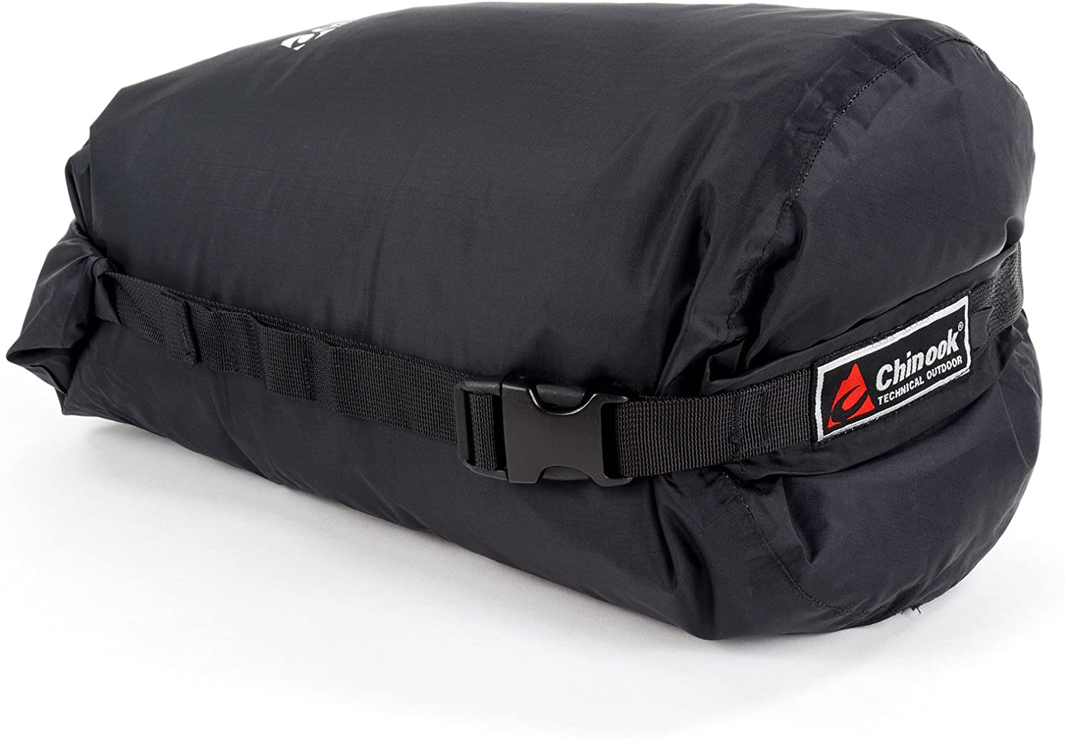
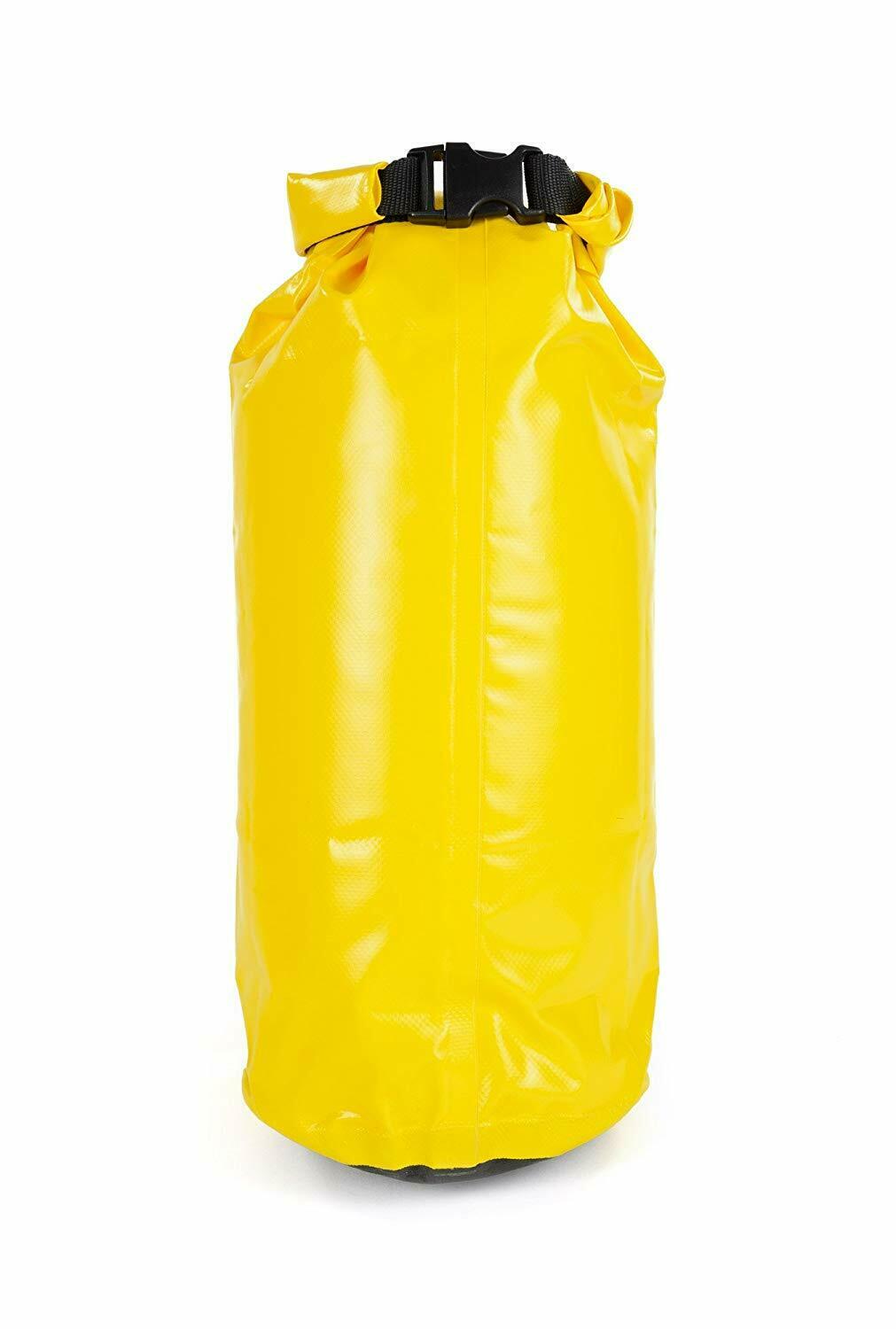
Chinook Ultralite Waterproof Compression Dry Sacks
$19.99
The backpacker's dream dry sack – it keeps your gear dry, clean, organized and compresses to a very compact size. These roll-top stuff sacks are...
View full product details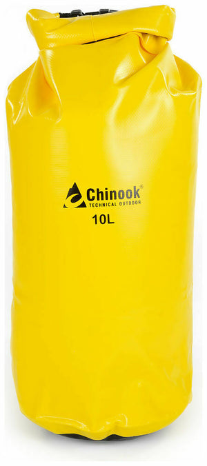
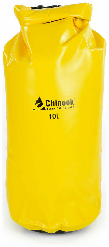
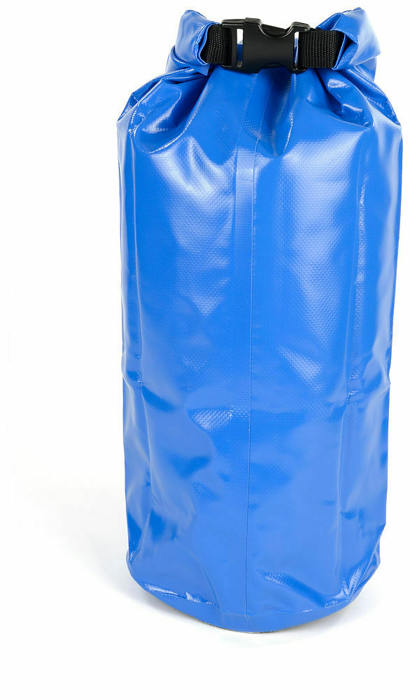
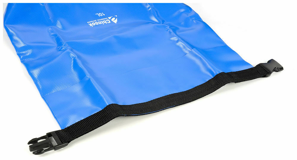
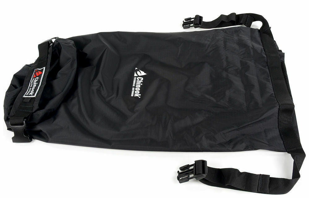
Chinook Paddler PVC Drybags Rugged Waterproof Bags 10-57L
$16.99
The Paddler series of waterproof dry bags are a necessity for all water sports activities. They feature a reinforced web roll-top and a very durable...
View full product details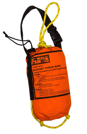

World Famous Rescue Throw Rope Bag 50' × 5/16" Floating Rope
$23.99
World Famous Rescue Throw Rope Bags are constructed in nylon pack cloth with high visibility floating rope. Complies with Canadian Coast Guard Equipment Requirements Details:...
View full product details