
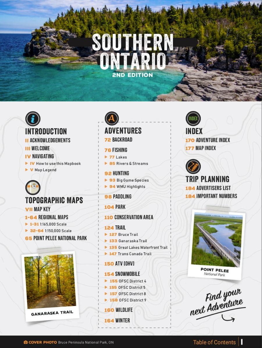

Backroad Mapbooks Southern Ontario - Spiral 2nd Edition
11008-BRMB
Sold Out
The southern reaches of Ontario contain the vibrant, cosmopolitan heart of Canada, boasting major cities like Hamilton, London and Toronto, the sights of Niagara Falls, and natural attractions such as Wasaga Beach, the world's largest freshwater beach. Our Southern Ontario backcountry map book guides your way through the region that is home to Ontario's largest established trail network, hundreds of public parks and conservation areas, the popular Bruce Peninsula, and some of Ontario's most accessible river paddling routes. All of this is just a stone's throw from Canada's most populous region. Let your Southern Ontario backcountry map book show you where to hike, camp, fish, paddle, ski, snowshoe and much more, for outdoor adventures that you will not forget!
The second edition of the Southern Ontario Mapbook features clearly defined Crown land and County Forest Tracts, along with countless updated trails and roads. The Bruce Trail and Trans Canada Trail have been recharted and there are more than 350 other trails highlighted. ATV riders will find several riding areas and snowmobilers can explore over 70 trails through OFSC Regions 4, 5, 8 and 9. In addition, contact information is provided for local ATV and snowmobile clubs. Anglers will find stocking charts and information on 250 lakes and rivers, paddlers can explore 30 lake and river routes, and hunters have maps and descriptions to all 45 WMUs in the area. Rounding out the mapbook are over 40 natural and manmade attractions and museums, National and Provincial Parks, Conservation Areas and over 80 routes for winter exploration.
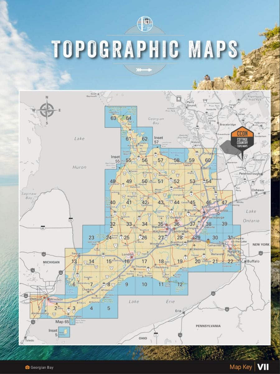
The printed version of the mapbook comes in the convenient 21.5 x 28 cm (8.5 x 11 inch) mapbook format with a heavy-duty spiral-bound cover. The 196-page book includes 65 maps ranging from the highly detailed Point Pelee National Park map to the more traditional 1:150,000 and 1:165,000 scale maps. Complimenting the maps are extensive listings for the 10 Outdoor Adventure sections, local retailers and service providers, Map and Adventure Index, Trip-Planning tools and more. With over 125,000 kilometres of roads to explore, including the most complete logging and industrial road coverage available, the books are ideal for navigating on road trips and planning from home.
Print Features
- Map Key & Legend
- Topographic Maps
- 33 @ 1:150,000 Scale Maps
- 21 @ 1:165,000 Scale Maps
- 1 @ 1:37,000 covering Point Pelee National Park
- Detailed Adventure Section
- Backroad Attractions
- Fishing Locations
- Hunting Areas
- Paddling Routes
- Parks & Campsites
- Trail Systems
- ATV Routes
- Snowmobile Areas
- Wildlife Viewing
- Winter Recreation
- Index
- Adventure Index
- Map Index
- Trip Planning Tools
Related Items

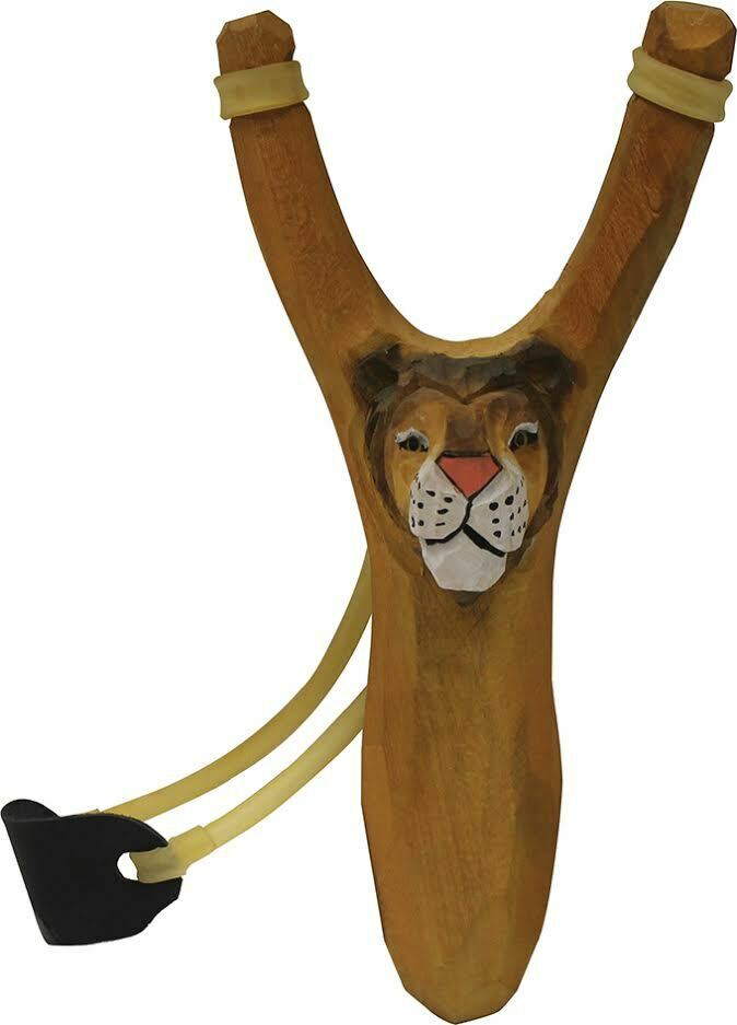
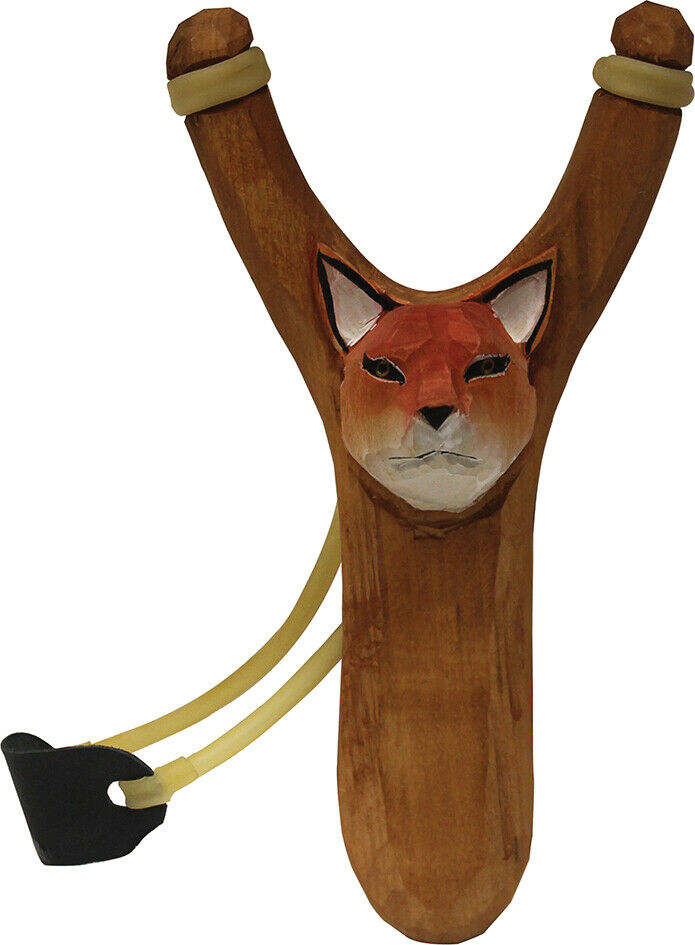

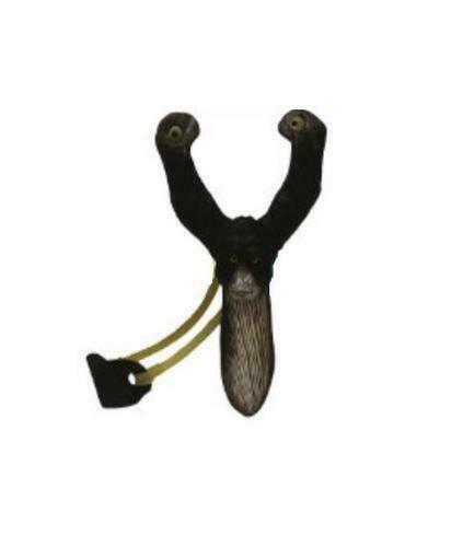
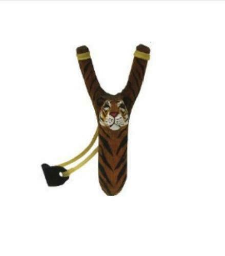

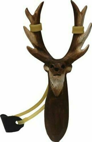
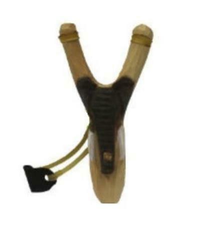
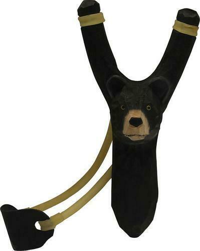
World Famous Wooden Animal Slingshots
$14.99
Wooden Animal Figures Slingshots are hand carved from wood and fun for the whole family! Details: • All wood construction • Hand carved...
View full product details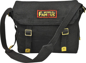
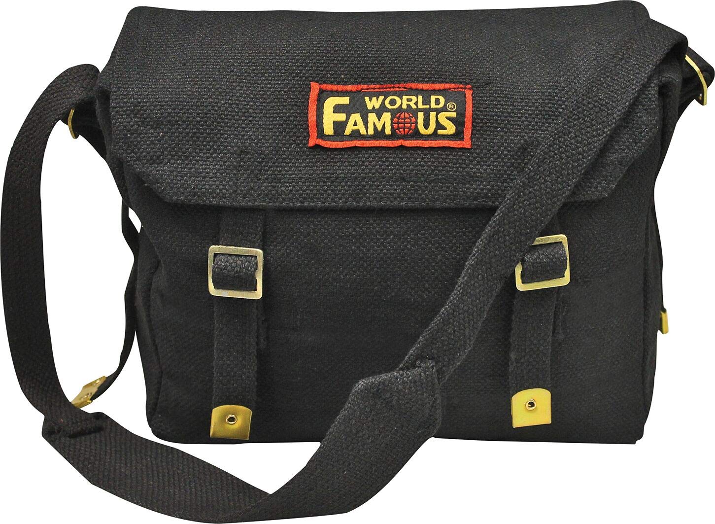
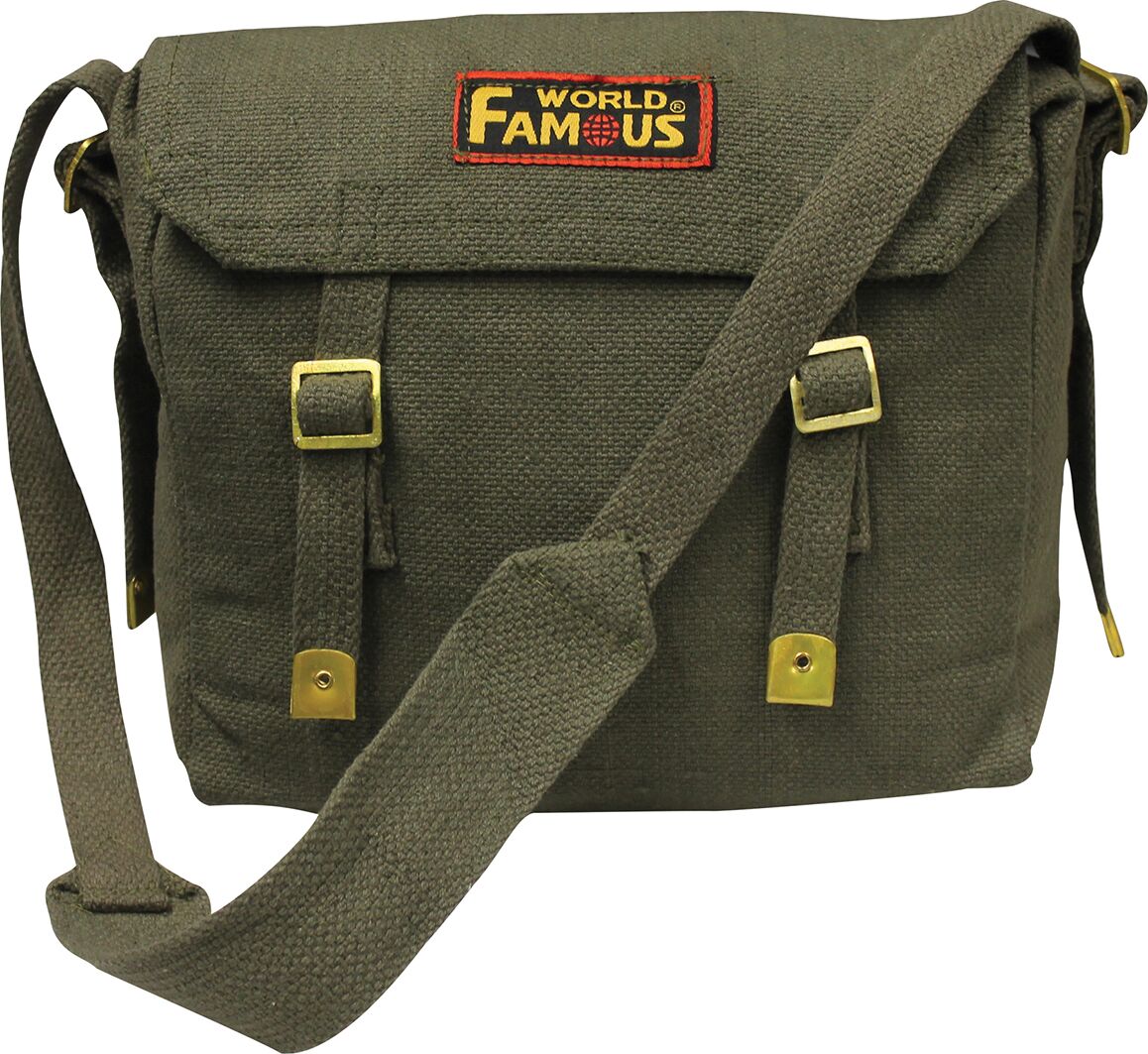
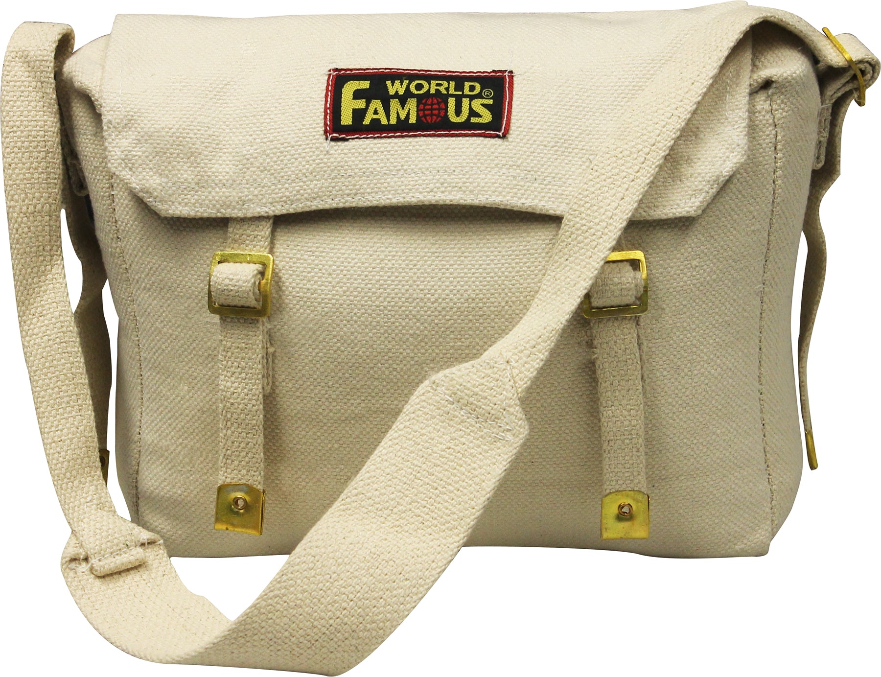
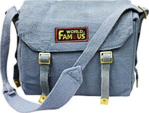
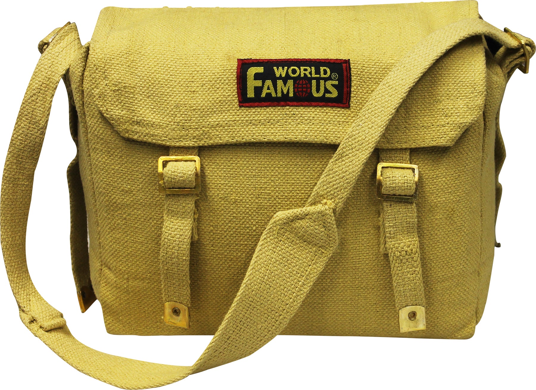

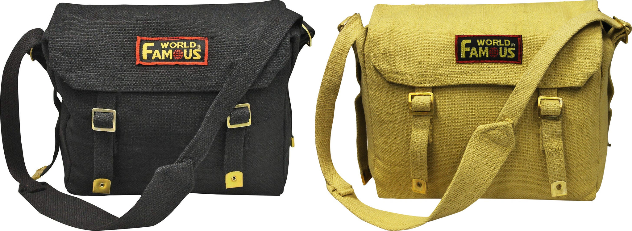
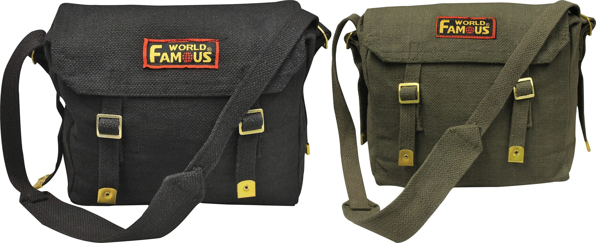
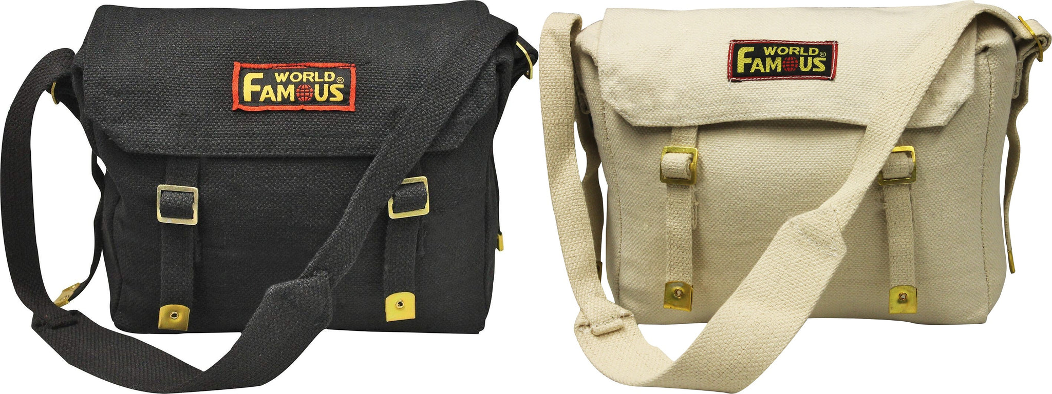
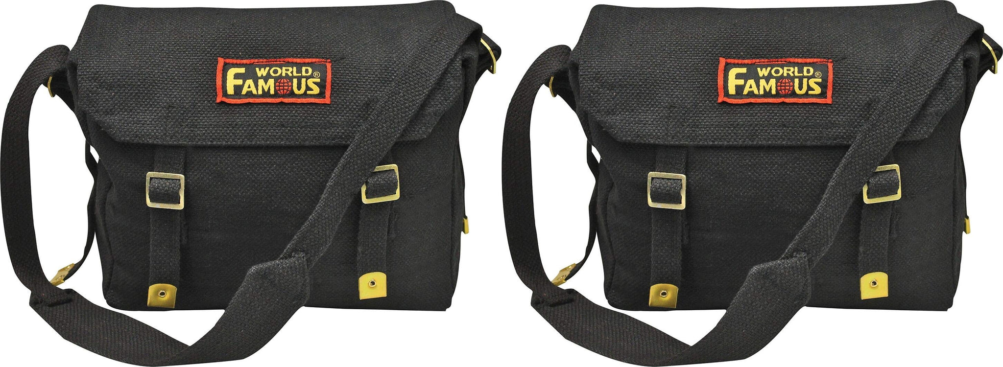
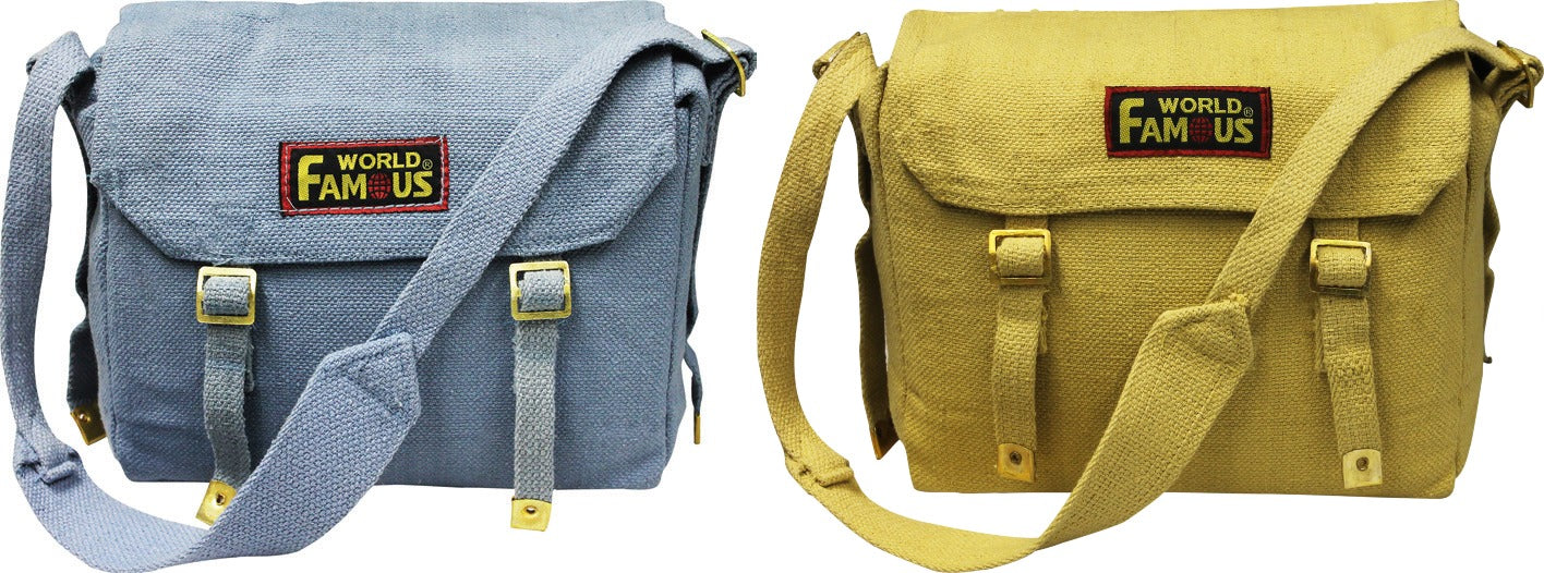
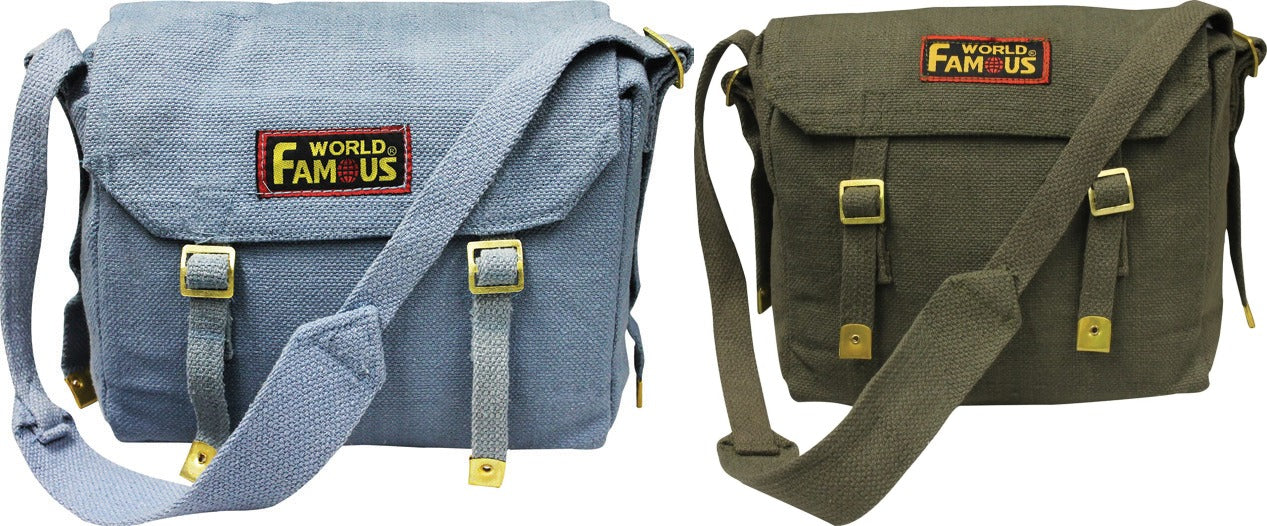
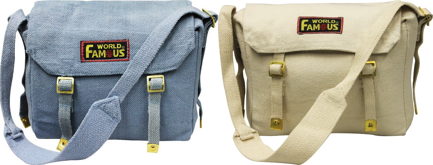
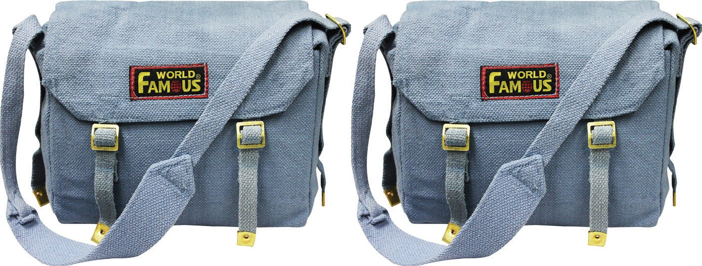
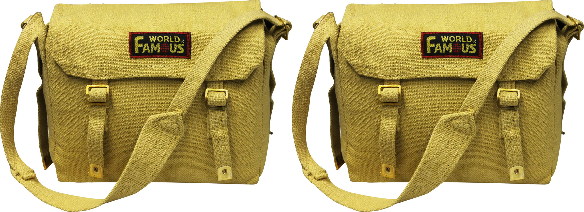
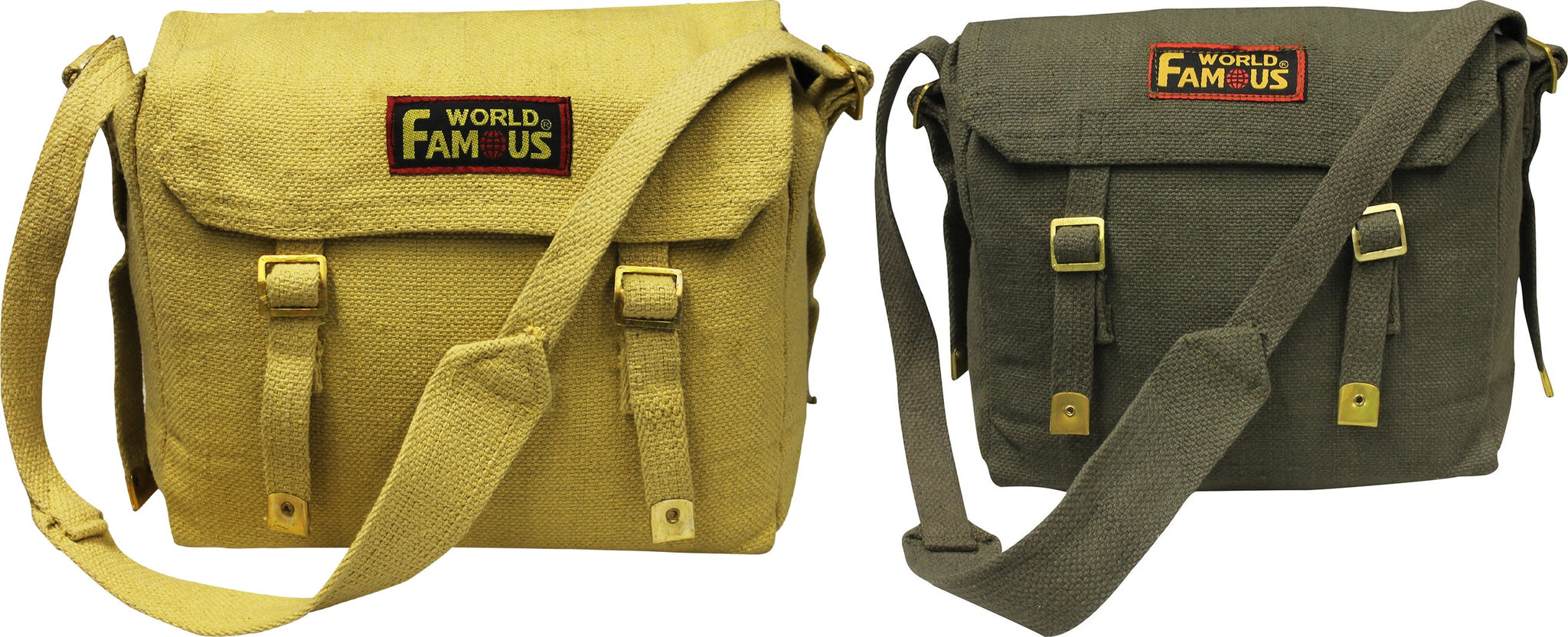
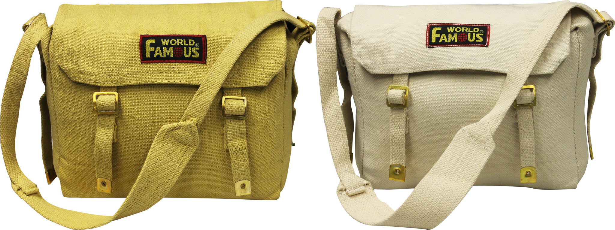
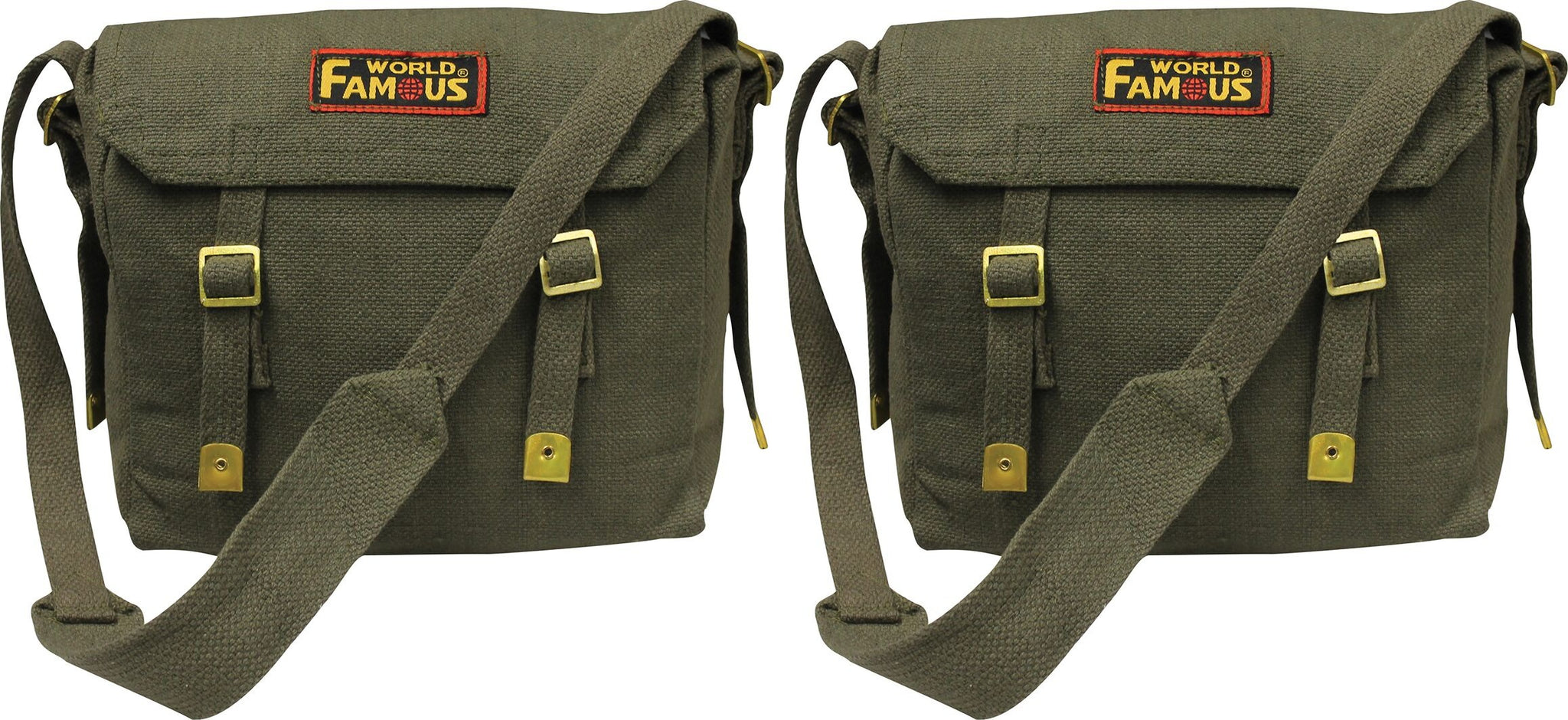
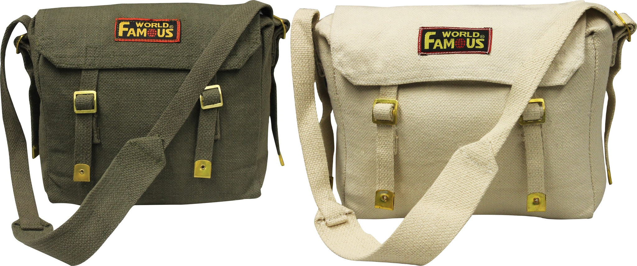
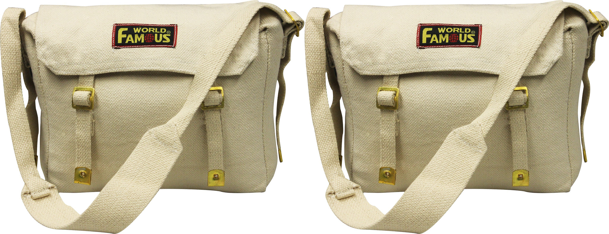
World Famous Web Haversacks - 2 Bag Value Pack
Sold Out
The World Famous Web Haversack has long been used as a grub pack or game bag. A quality, light weight shoulder bag at a great price....
View full product details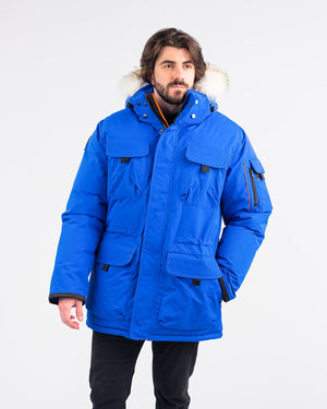


Outdoor Survival Canada OSC Men's Atka -40 Down Parka
$1,112.40 $1,236.00
The Atka -40 parka boasts one of OSC’s classic styles, with sharp detailing and a warm and stylish coyote fur removable hood. This unique combination...
View full product details