- Men
- Women
- Youth
- Sleep
- Camp
- Packs
- Shelter
- Activity
- OSC Jackets Custom Order
- Cycling
- Brands
- Gift Cards
- Spring Sales
- Account
- Men
- Women
- Youth
- Sleep
-
Camp
- First Aid
- Sun Protection
- Camp Kitchen
- Stoves
- Pots & Cooksets
- Kettles & Percolators
- Frying Pans and Griddles
- Cooking Utensils
- Tableware
- Coffee Presses & Flasks
- Food
- Fuel & Stove Accessories
- Dutch Ovens and Grills
- Lighting
- Flashlights
- Headlamps
- Lanterns
- Insect & Animal Deterrents
- Bug Jackets
- Bug Repellants
- Bear & Dog Deterrents
- Furniture
- Chairs
- Portable Toilets
- Other
- Dry Bags & Storage
- Gear Maintenance
- Hiking Poles
- Hygiene
- Survival
- Fire Lighting
- Propane Heaters
- Tools
- Knives & Machetes
- Rope
- Repair
- Sling Shots
- Axes Saws & Shovels
- Hydration
- Bottles
- Water Filters
- Packs
- Shelter
-
Activity
- School Bags
- Travel
- Travel Pillows
- Accessories
- Security
- Climb
- Carabiners
- Water Travel
- Drybags & Storage
- Portage & Rafting Packs
- PFD'S & Life Jackets
- Canoe & Kayak Accessories
- Boat Friendly Duffle Bags
- Paddling Gloves & Socks
- Water Shoes & Paddling Sandals
- Paddles
- Watercraft Accessories
- Paddleboarding
- OSC Jackets Custom Order
- Cycling
- Brands
- Gift Cards
- Spring Sales
Backroad Mapbooks Temagami Neon-23 Waterproof Tear-Resistant Topographic Map
BRMB-00209-23
$24.95
This recreation topographic map for Temagami highlights all the logging/resource roads, hunting areas, fishing lakes & streams, campsites, paddling routes for canoeing and kayaking, wildlife viewing areas, multi-use trails for hiking, biking, horseback riding, cross-country skiing and snowshoeing, motorized trails for ATVing and snowmobiling & more. Covering 3,040 km2 (1,170 mi2), this 1:85,000 scale map measures 48 x 63.5 km (30 x 39.5 mi), providing you with more topographic and recreational detail than any other map on the market. New features include Crown land areas, countless new roads and trails plus additional recreational Points of Interest. Included on this map are Lake Temiskaming, Ottawa River, Rabbit Lake, Temagami, Jocko Rivers Prov Park, Wickstead Lake, Marten Lake, Jocko River, Marten River and more!
Collections: 2024 Stocking Stuffers, Camp, Camp/Water Tripping
Category: BRMB, Camp, Camp/Water Tripping, CSS, Map, Water Tripping
Type: Camp/Water Tripping
Related Items
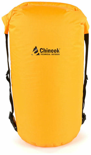
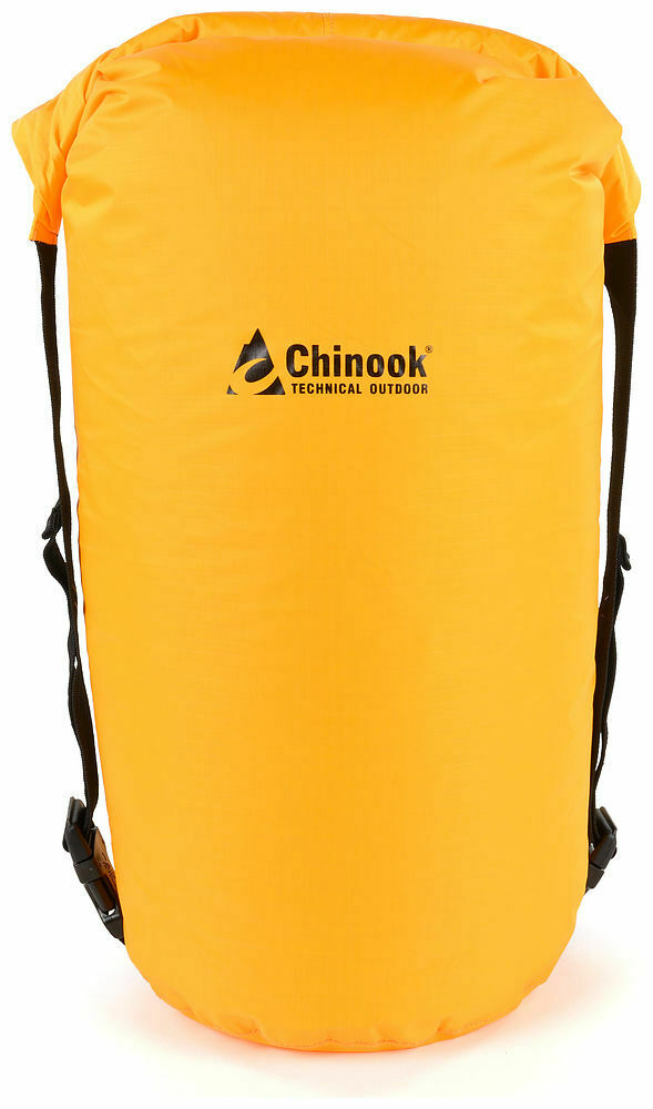
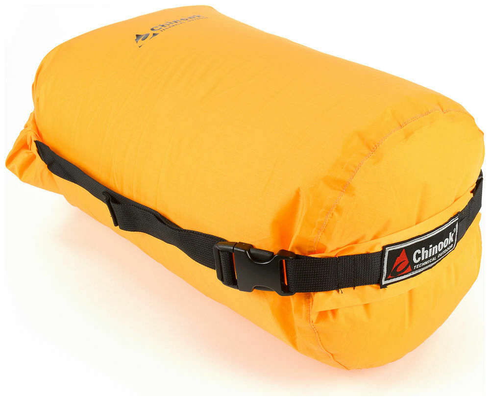
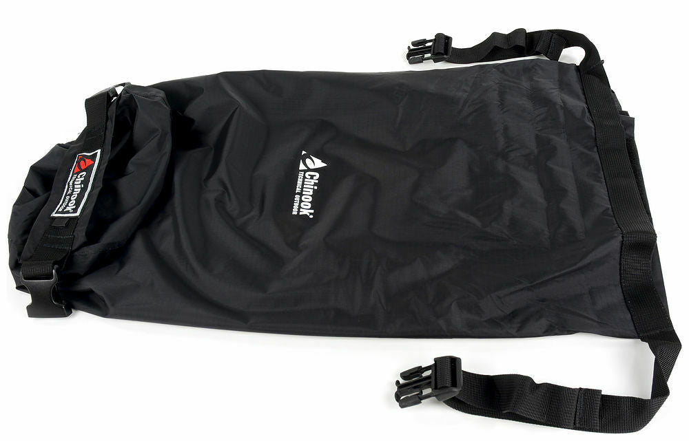
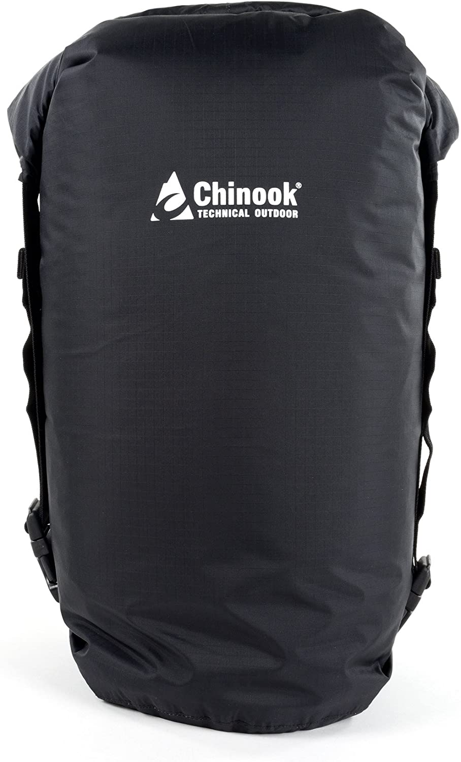
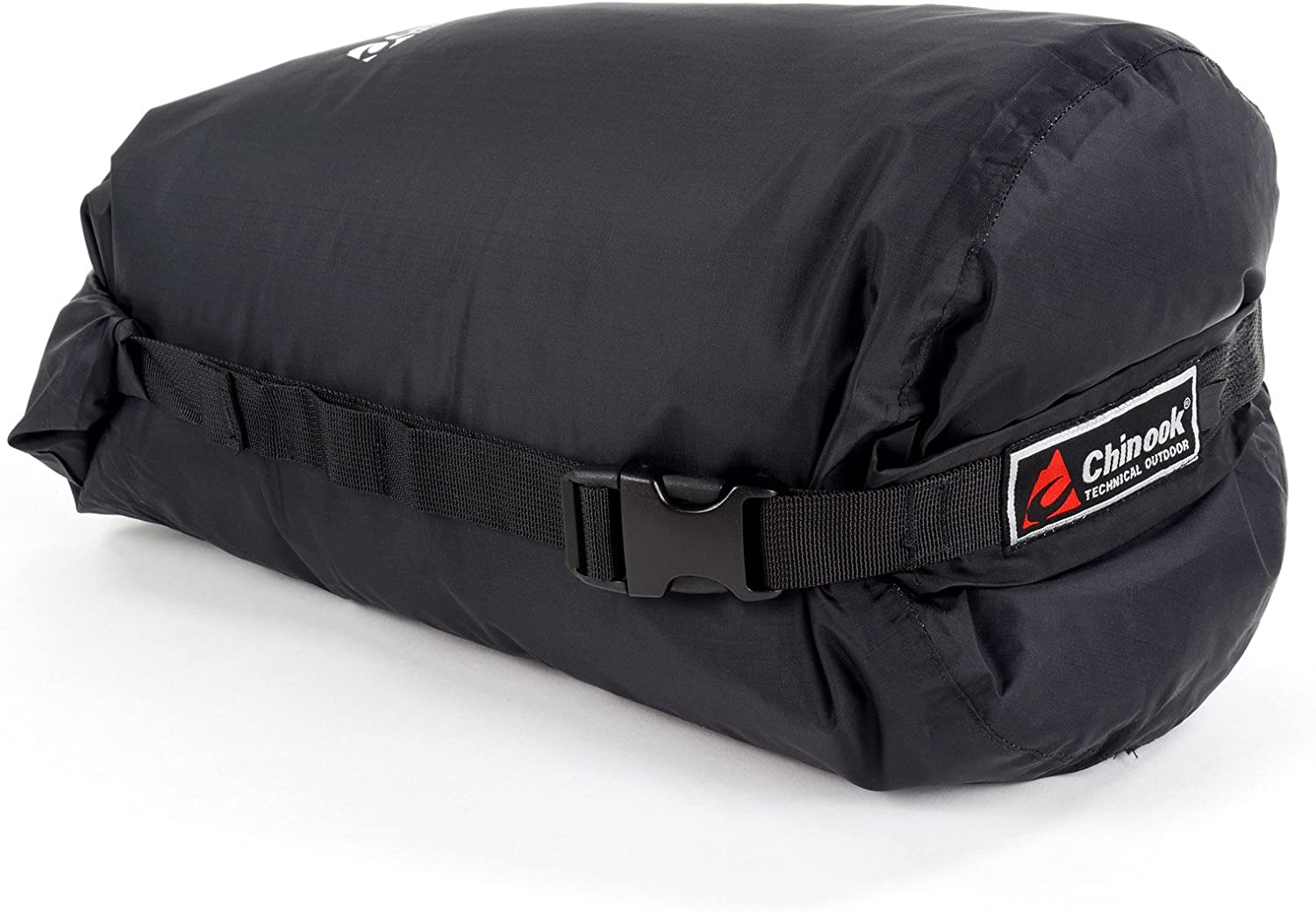
Chinook Ultralite Waterproof Compression Dry Sacks
$19.99
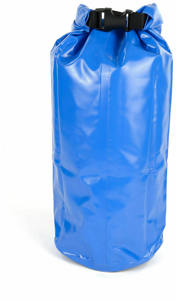
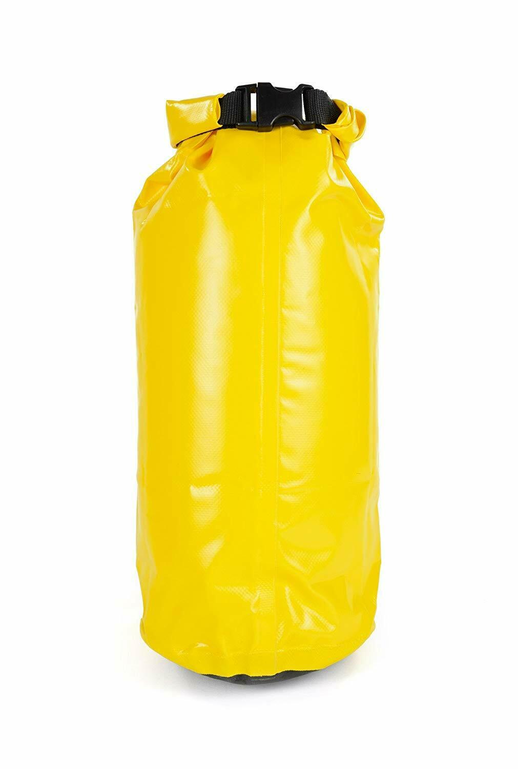
The backpacker's dream dry sack – it keeps your gear dry, clean, organized and compresses to a very compact size. These roll-top stuff sacks are...
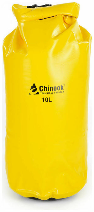
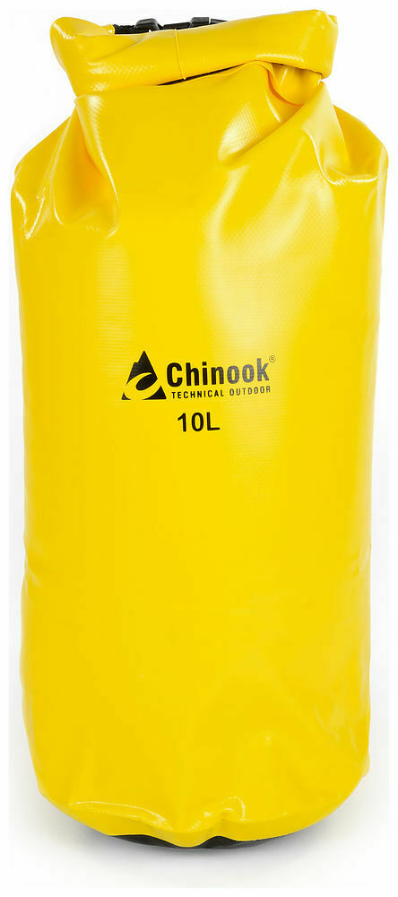
View full product detailsChinook Paddler PVC Drybags Rugged Waterproof Bags 10-57L
$16.99
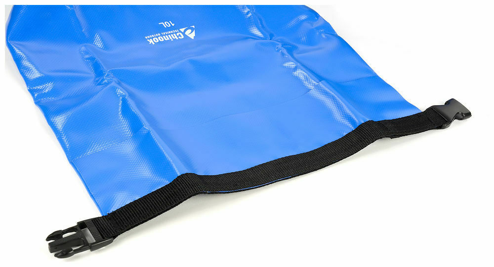
The Paddler series of waterproof dry bags are a necessity for all water sports activities. They feature a reinforced web roll-top and a very durable...
View full product detailsWorld Famous Nylon Map Case
$9.99
A good size for canoes or larger (double) kayak decks. One side is transparent, and this sturdy map case will keep your map safe and...
View full product details- Search
- Shipping Policies
- Contact Us
- News
- FAQs
- Return Policy
- Warranty
- Brands
- About Us
- Terms of Service
- Jobs at ScoutTech
Sign up to get the latest on sales, new releases and more…
© 2025 ScoutTech.
