
Backroad Mapbooks Killarney Tear-Resistant Topographic Map
BRMB-11071
$29.99
Covering Killarney Provincial Park in Northern Ontario, this map features the hiking trails, canoe routes, access points, campsites, lakes and visitor facilities. This Adventure map includes 1:10,000 water and trail data and can be used for hiking, canoeing, camping, exploring, fishing, kayaking, skiing, wildlife viewing and more! Covering 640 sq. km (247 sq. mi), this map includes Killarney Provincial Park, Killarney, Baie Fine, Bell Lake, Crooked Lake, George Lake Campground, Johnnie Lake, Kakakise Lake, La Cloche Mountains, La Cloche-Silhouette Trail, Lake Panache, Nellie Lake, Osa Lake, Threenarrows Lake and more!
Related Items
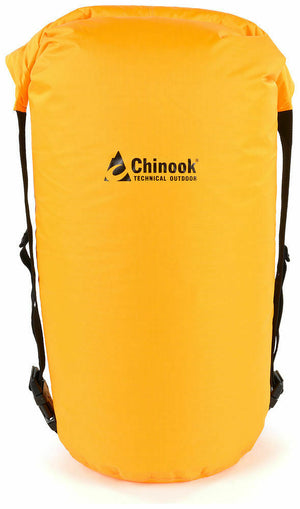

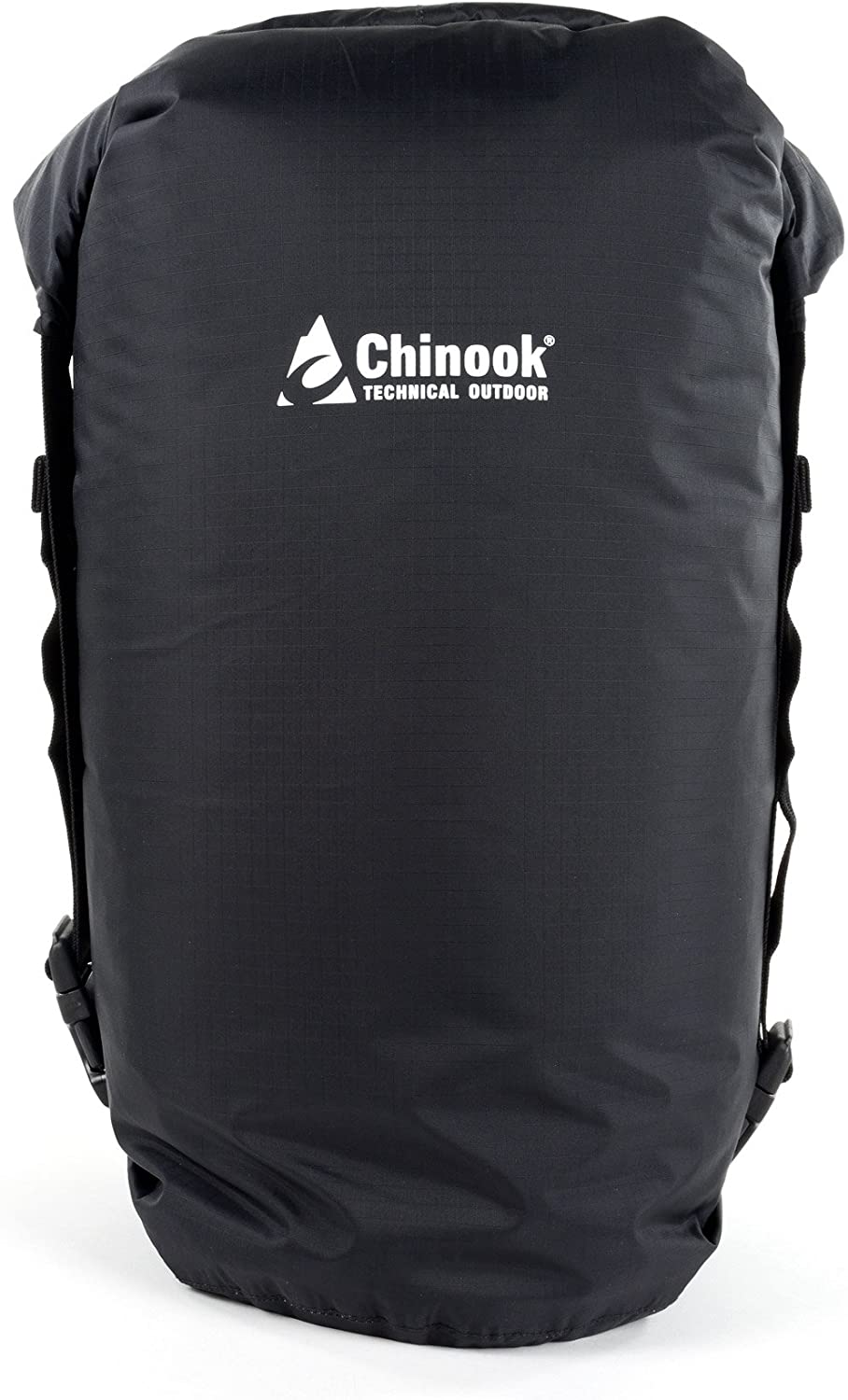
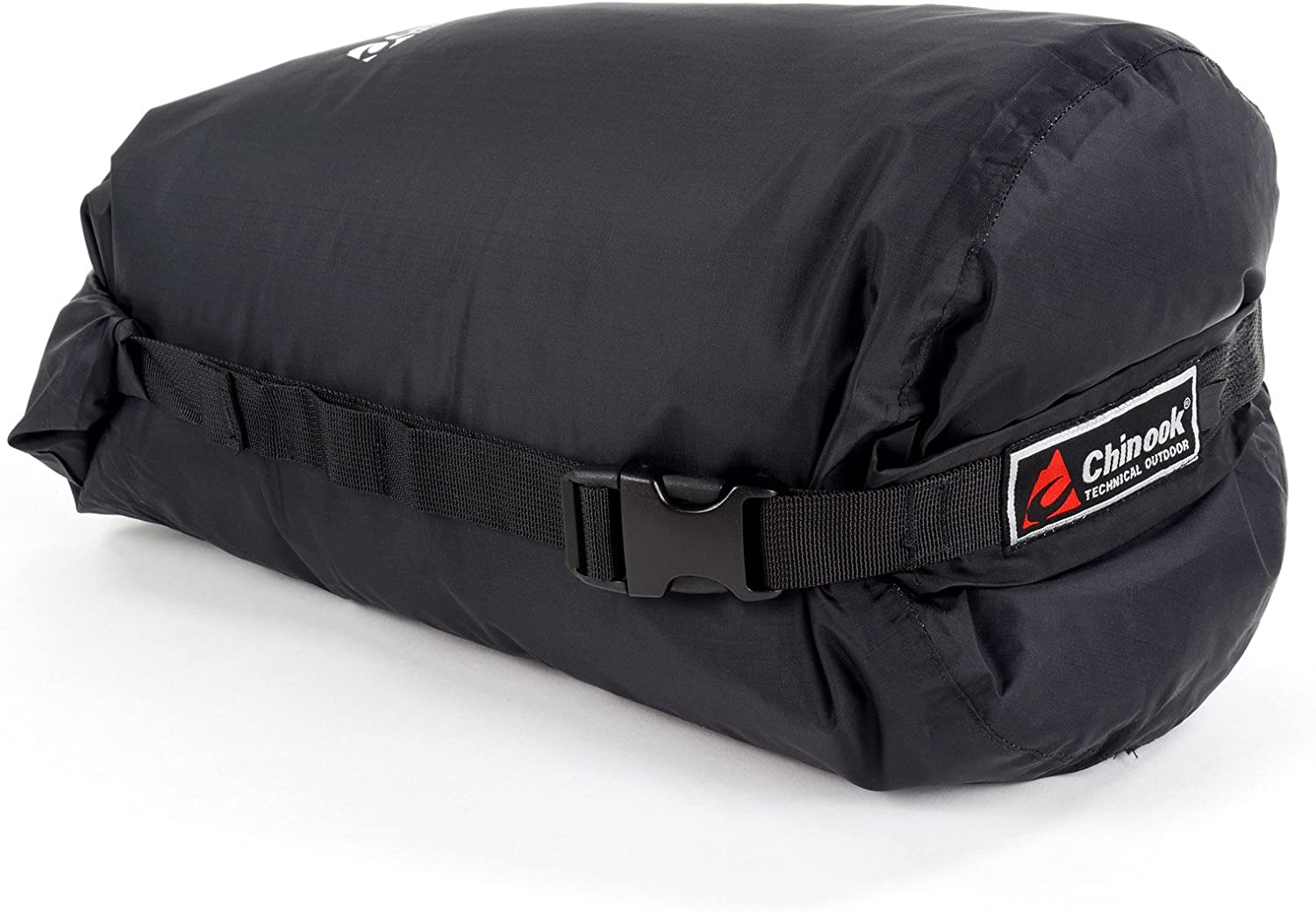
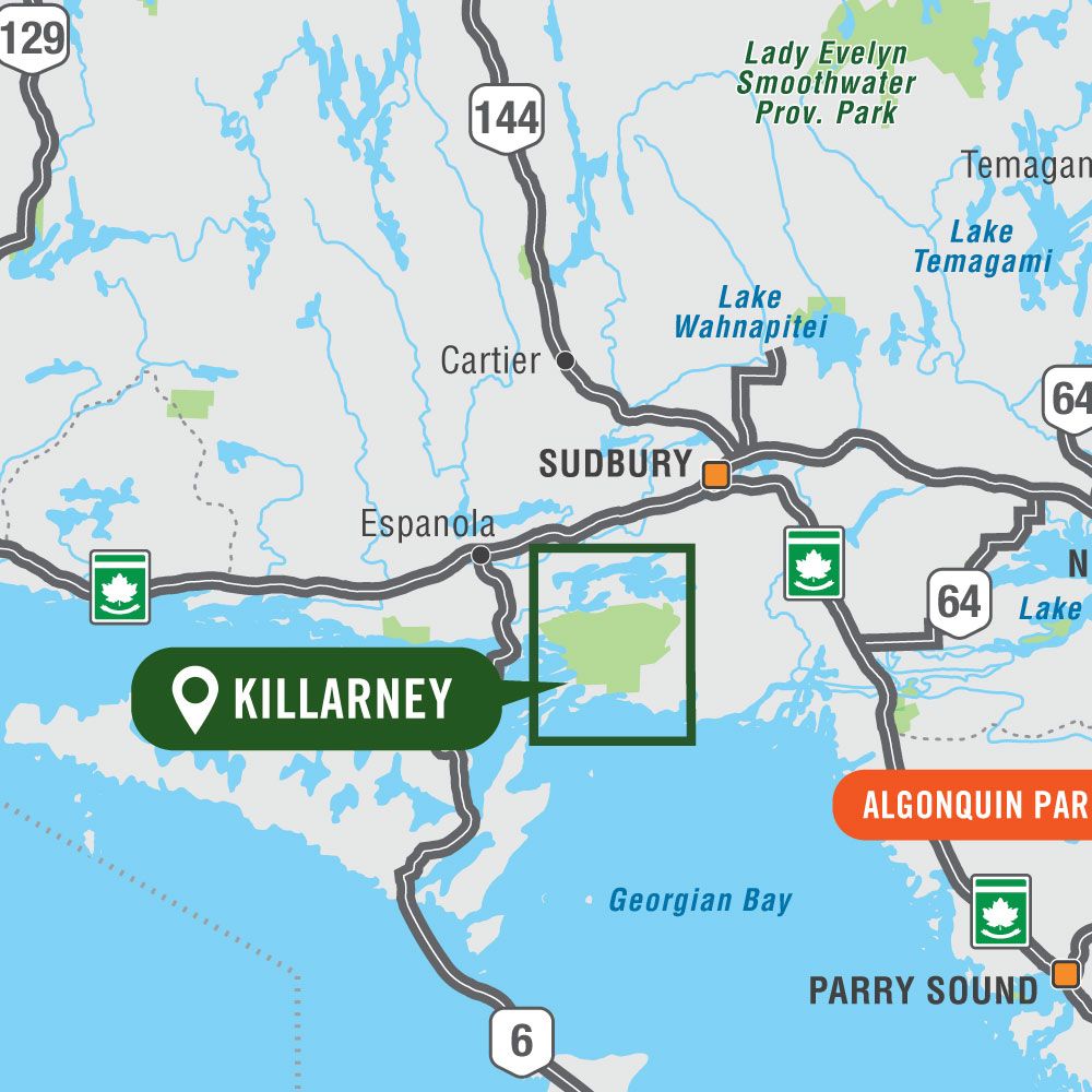
Chinook Ultralite Waterproof Compression Dry Sacks
$19.99
The backpacker's dream dry sack – it keeps your gear dry, clean, organized and compresses to a very compact size. These roll-top stuff sacks are...
View full product details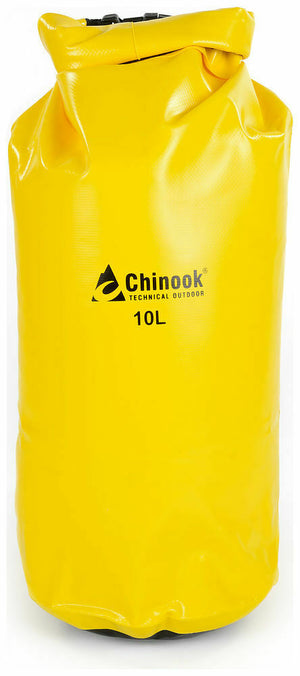
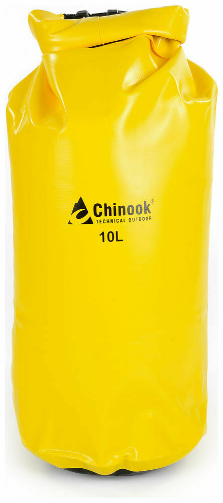
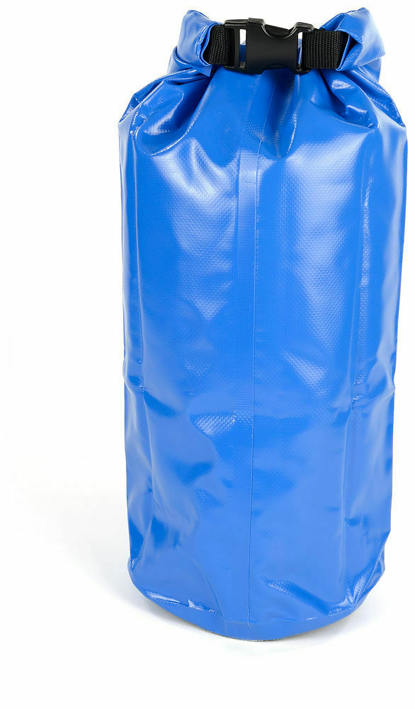
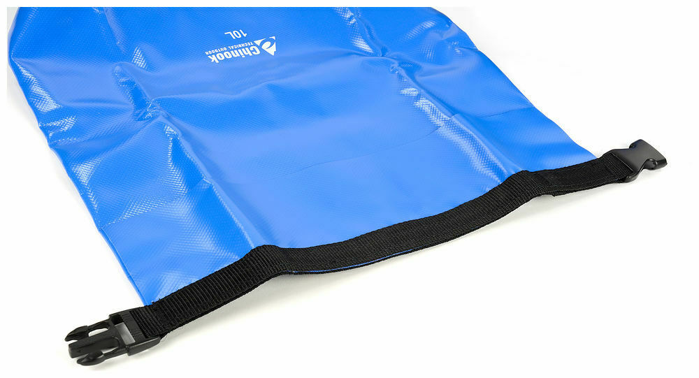
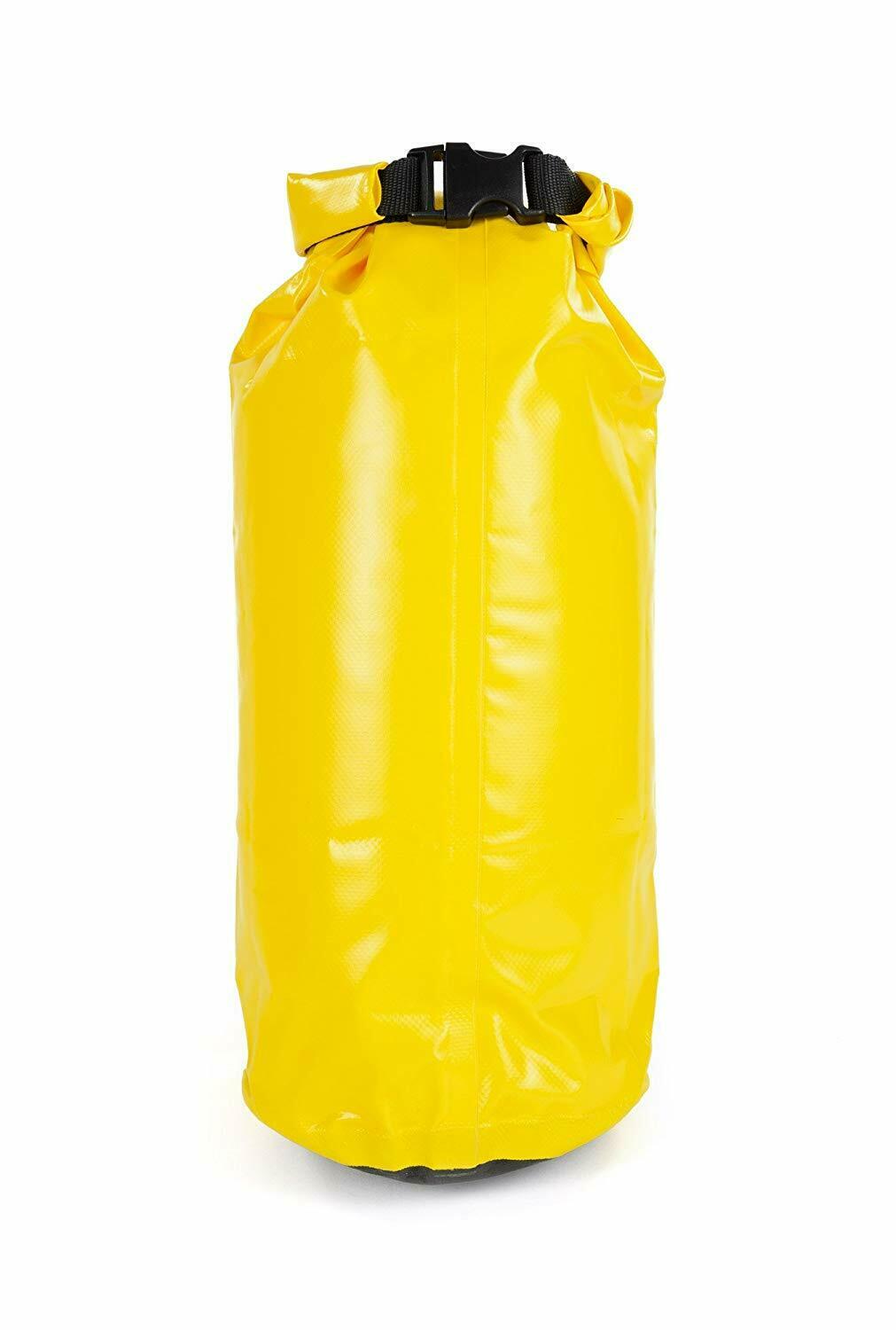
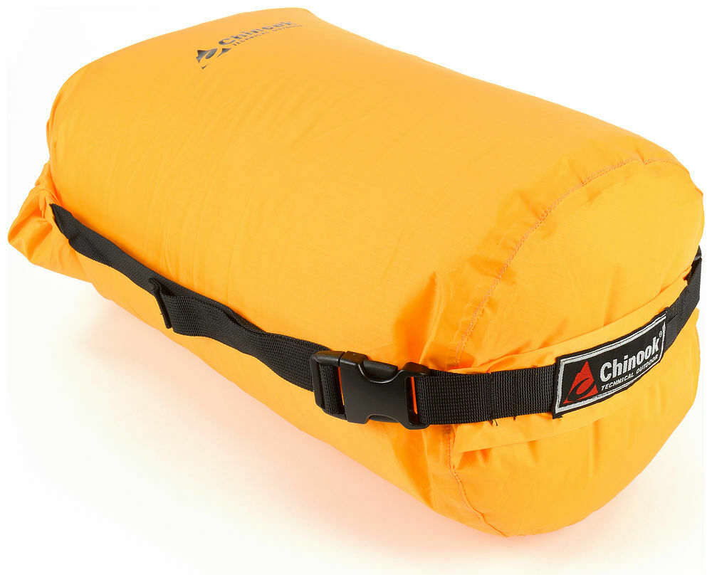
Chinook Paddler PVC Drybags Rugged Waterproof Bags 10-57L
$16.99
The Paddler series of waterproof dry bags are a necessity for all water sports activities. They feature a reinforced web roll-top and a very durable...
View full product details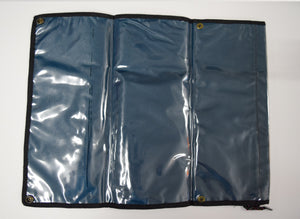

World Famous Nylon Map Case
$9.99
A good size for canoes or larger (double) kayak decks. One side is transparent, and this sturdy map case will keep your map safe and...
View full product details