


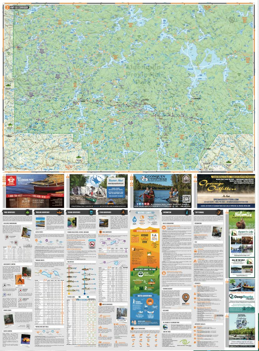
Backroad Mapbooks Algonquin Provincial Park Waterproof Tear-Resistant Topographic Map
11004-BRMB
Sold Out
Related Items

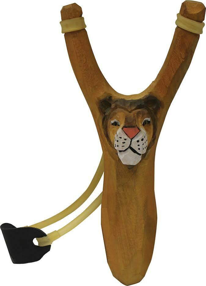
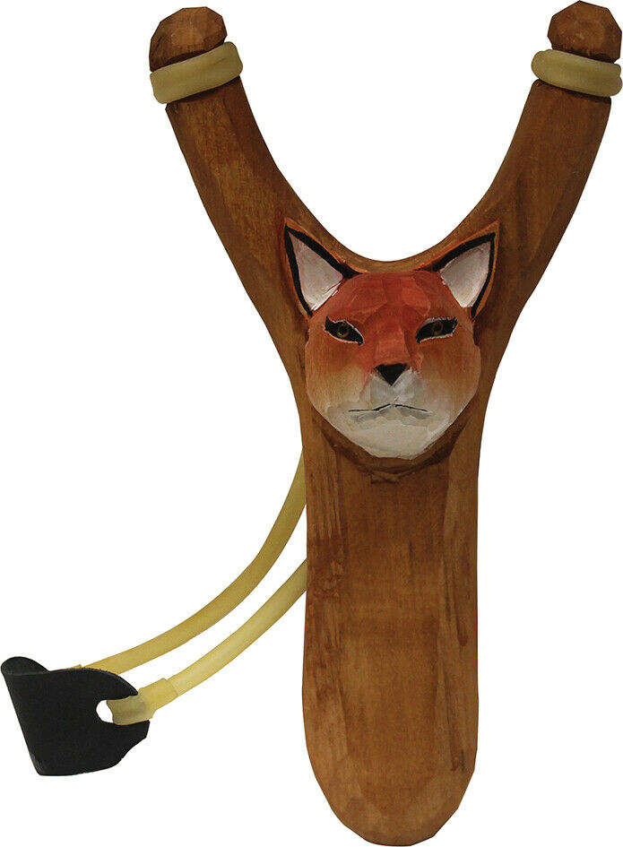

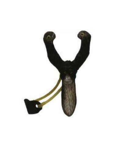
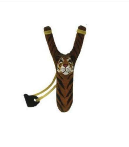
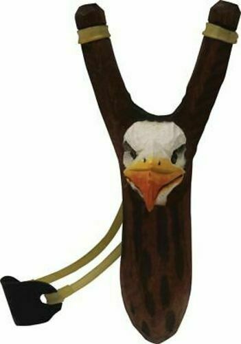
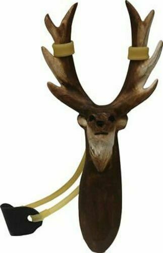
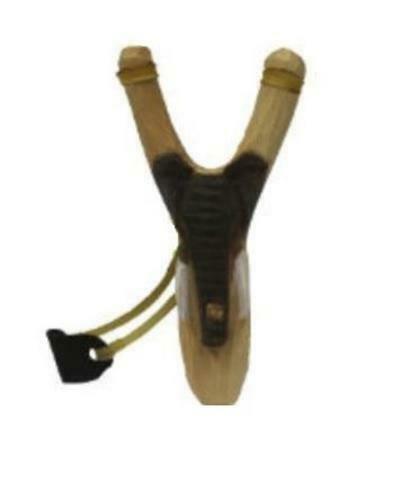
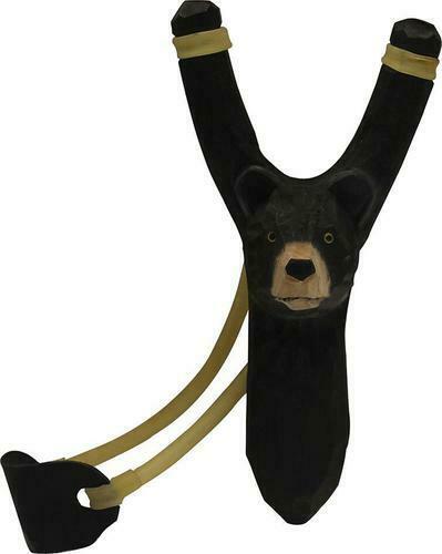
World Famous Wooden Animal Slingshots
$14.99
Wooden Animal Figures Slingshots are hand carved from wood and fun for the whole family! Details: • All wood construction • Hand carved...
View full product details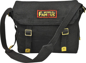
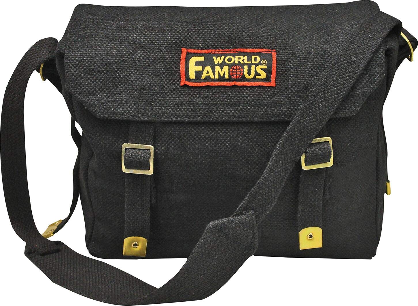
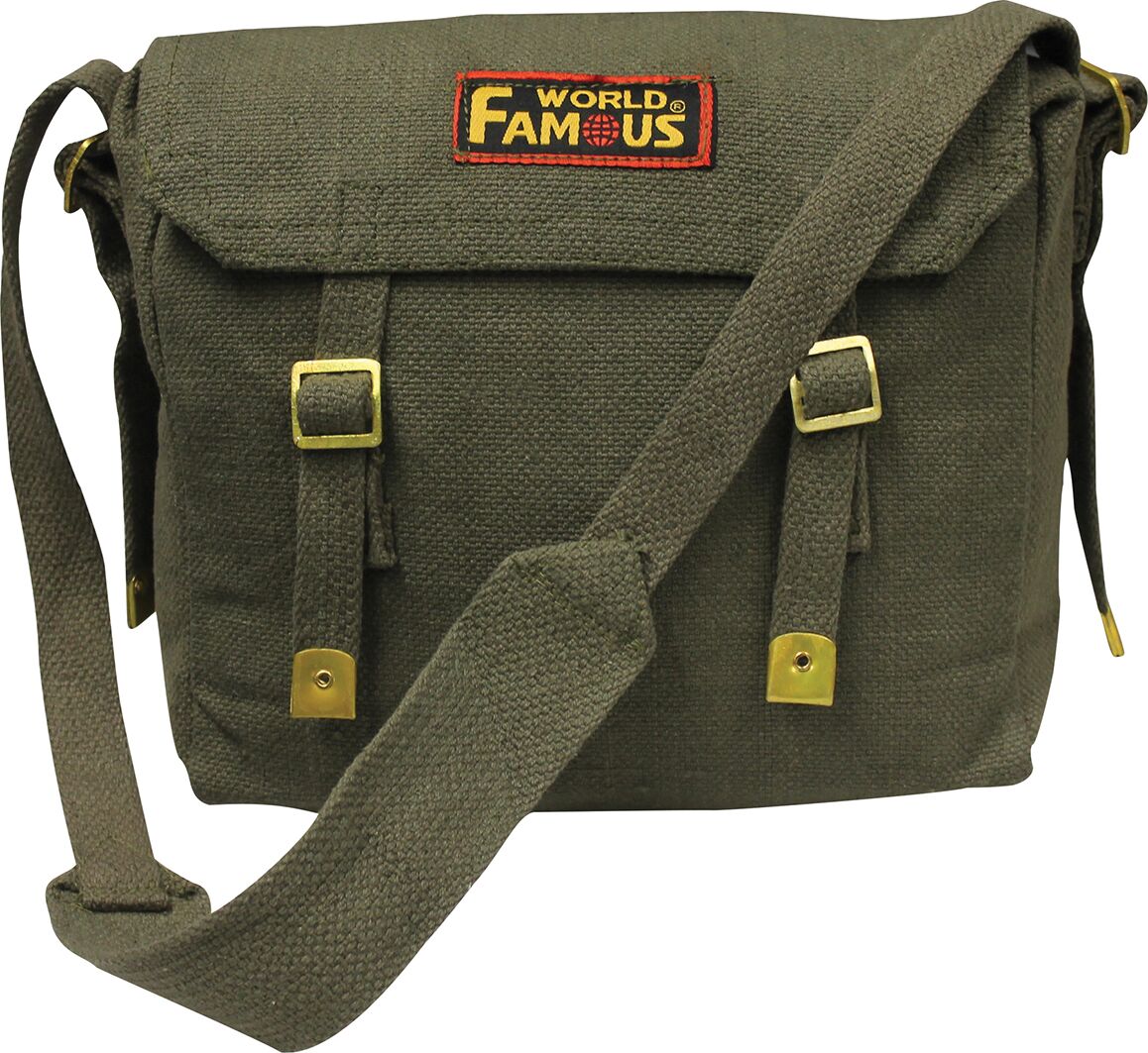
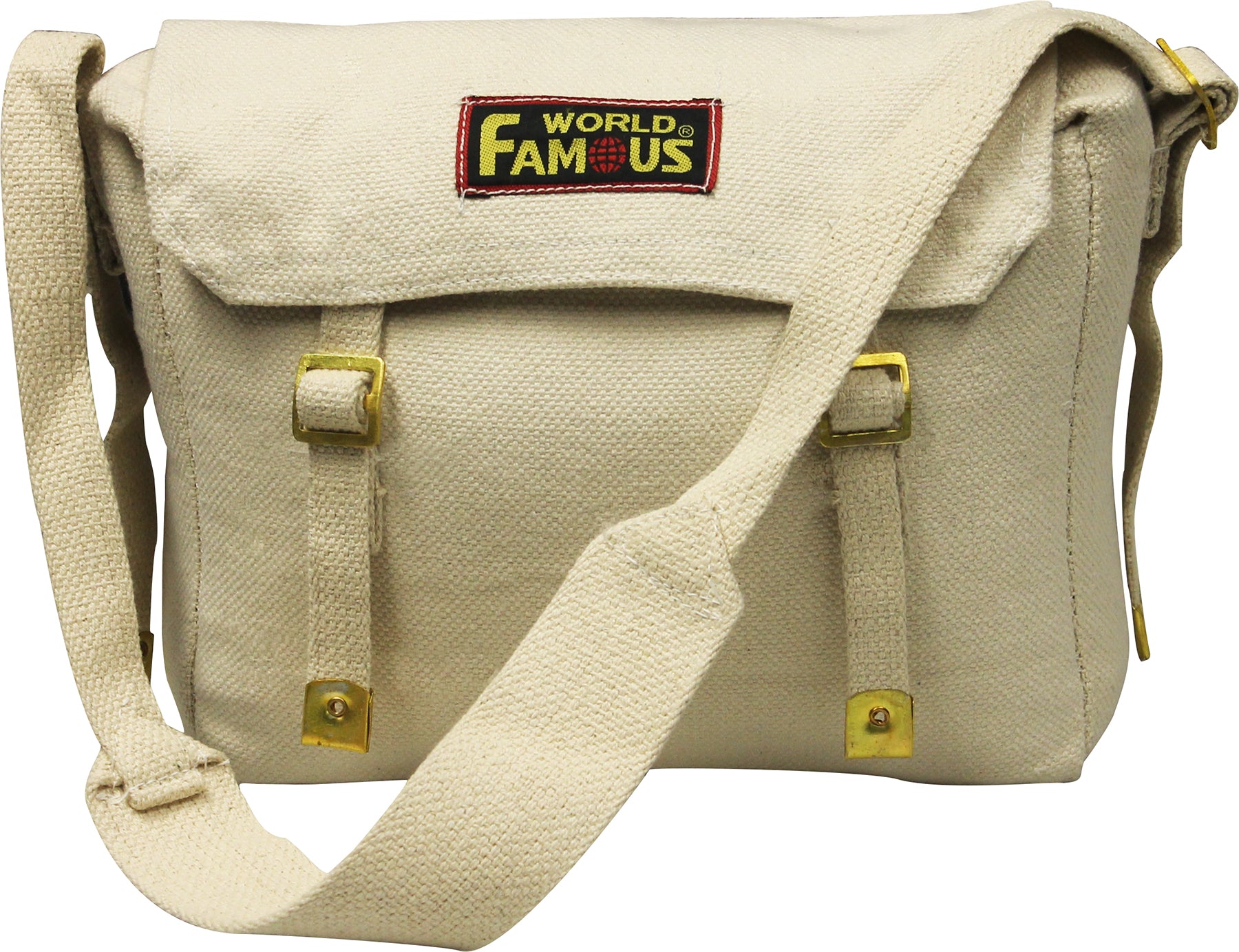
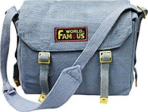
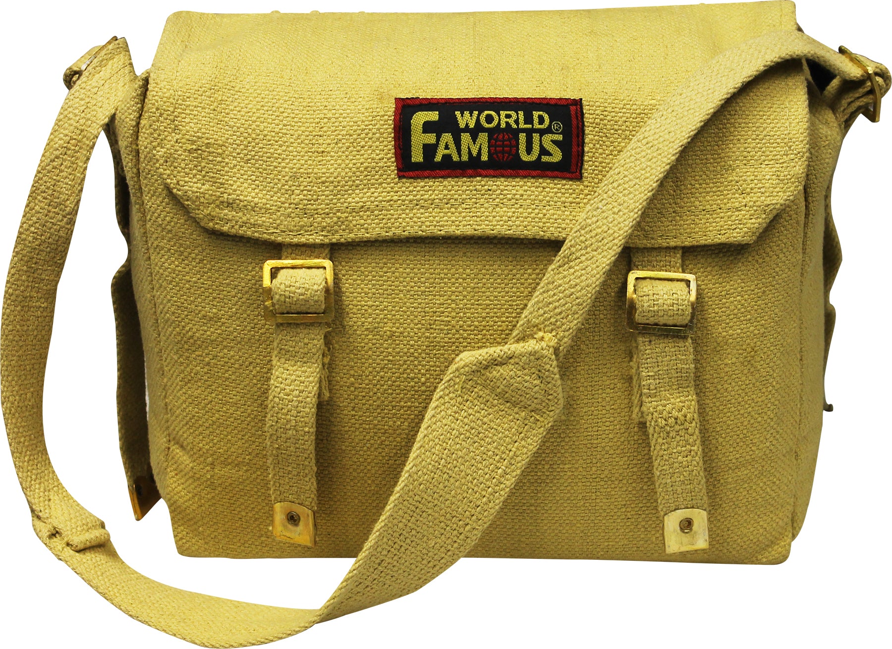

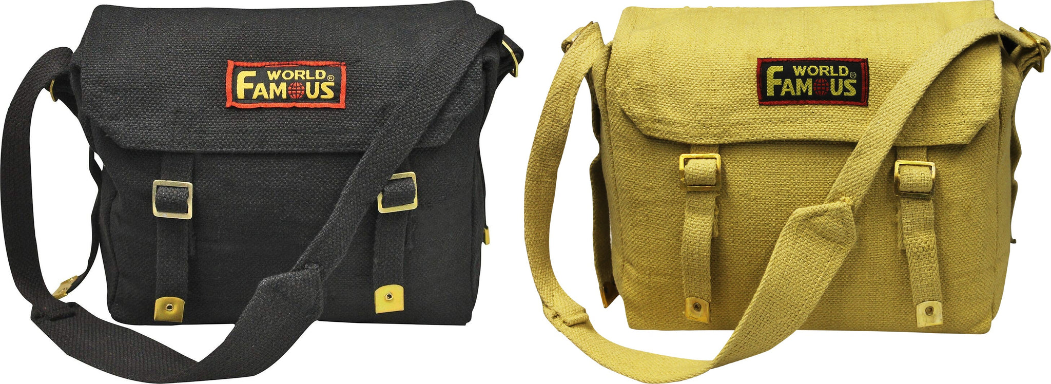
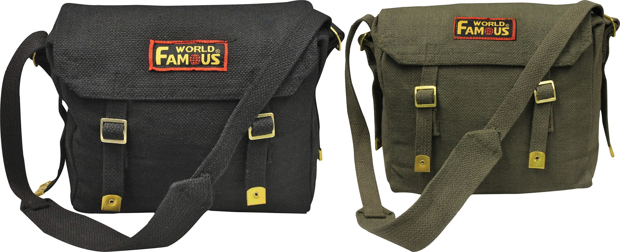
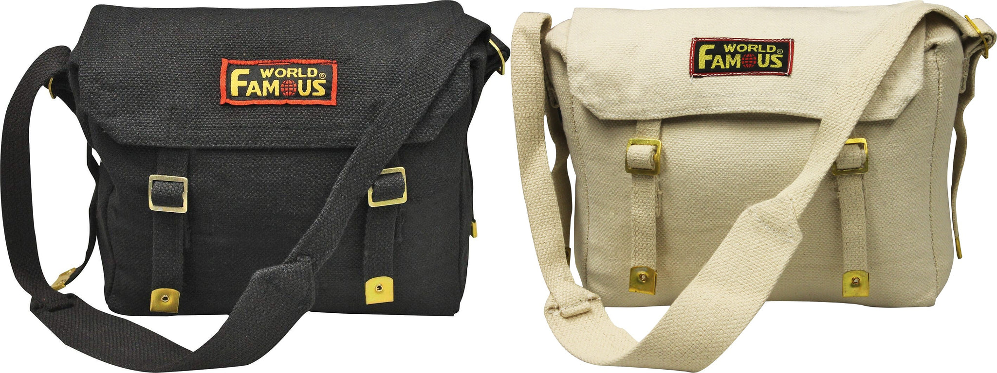
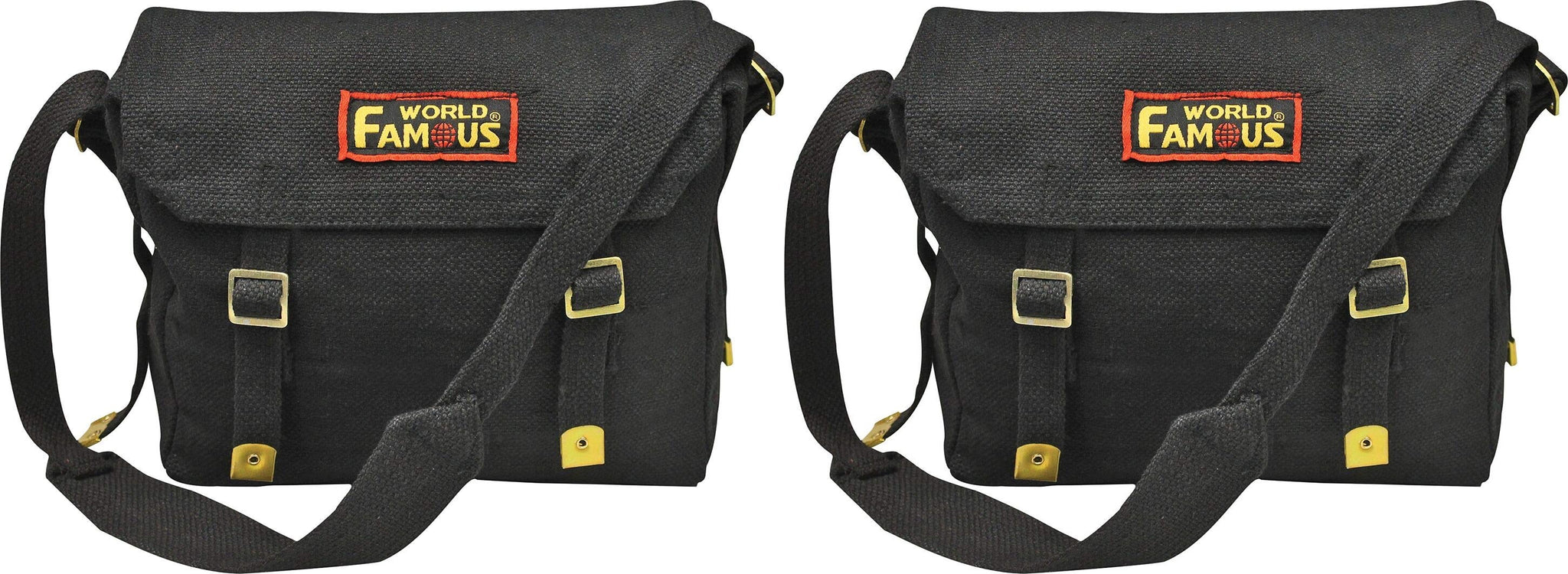
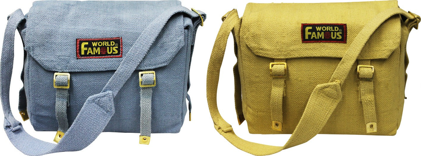
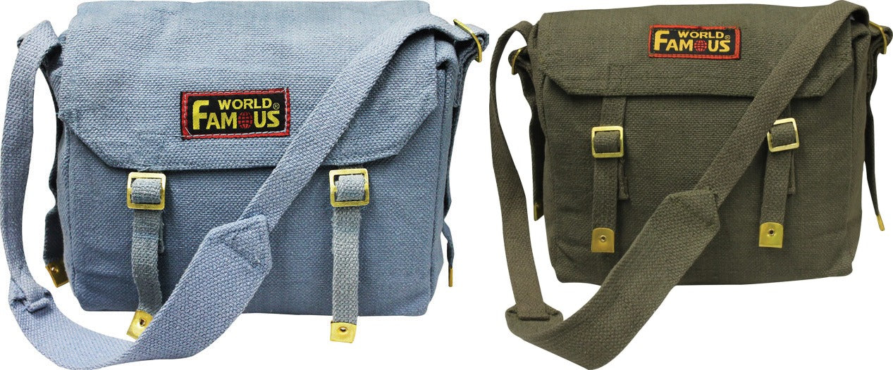
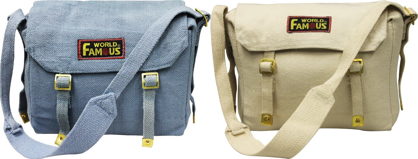
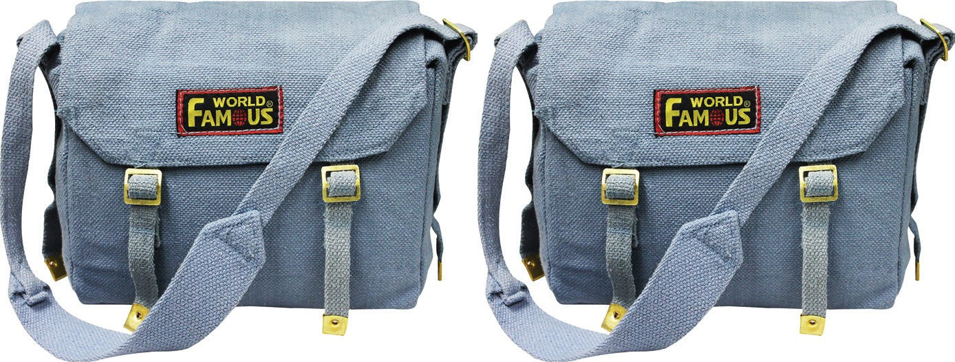
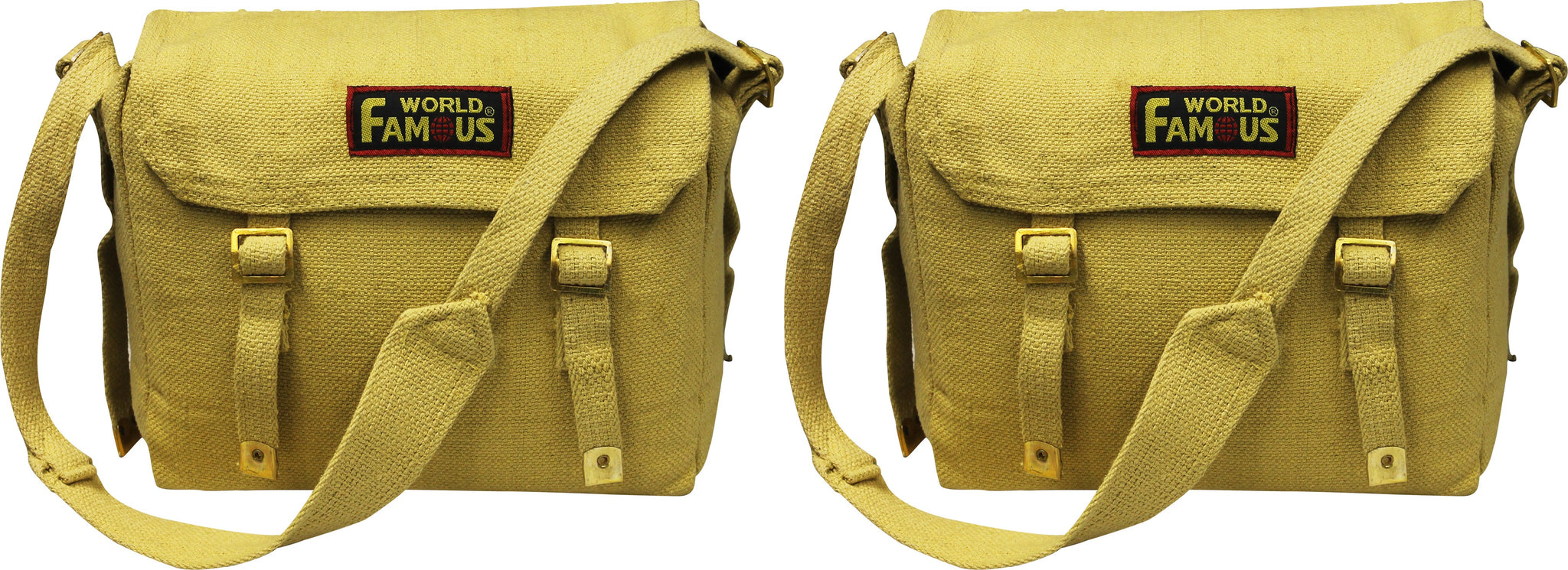
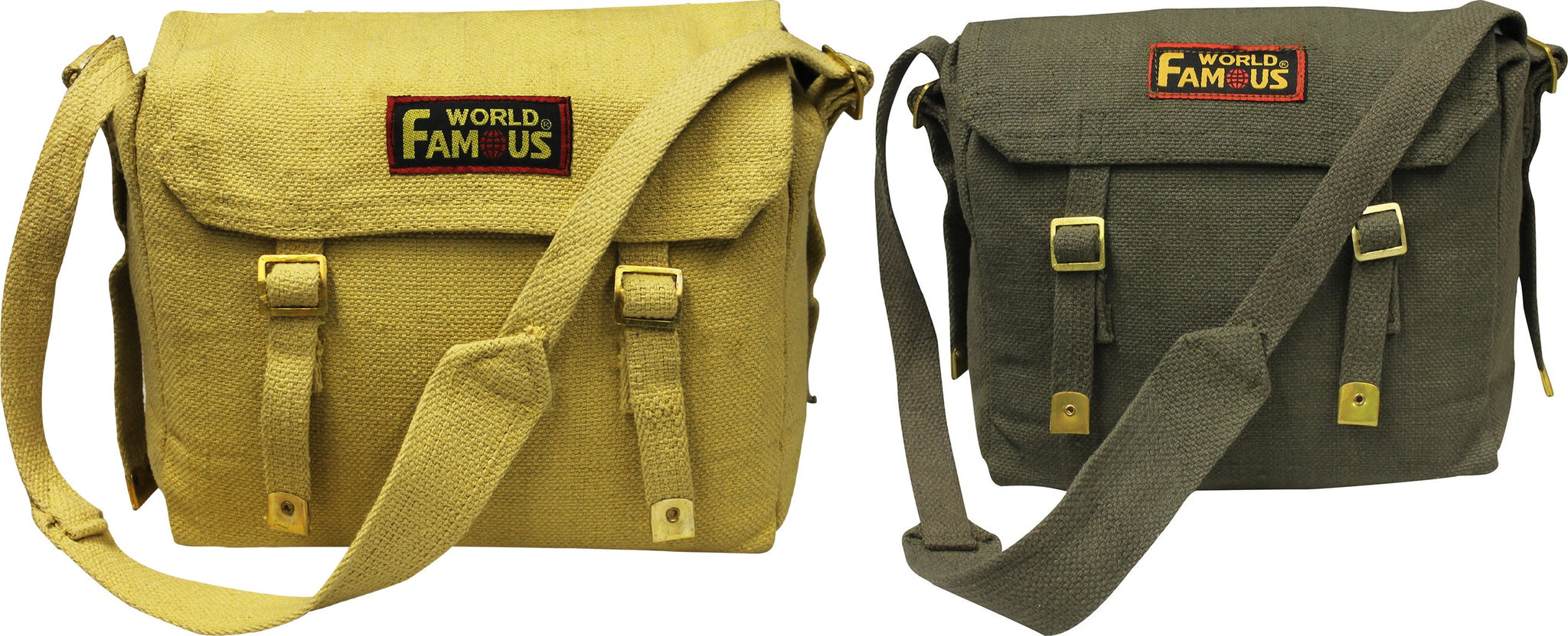
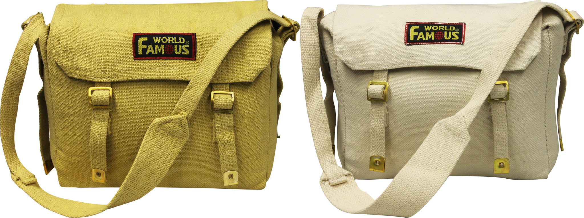
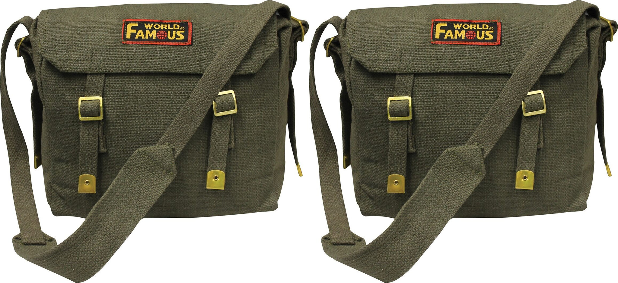
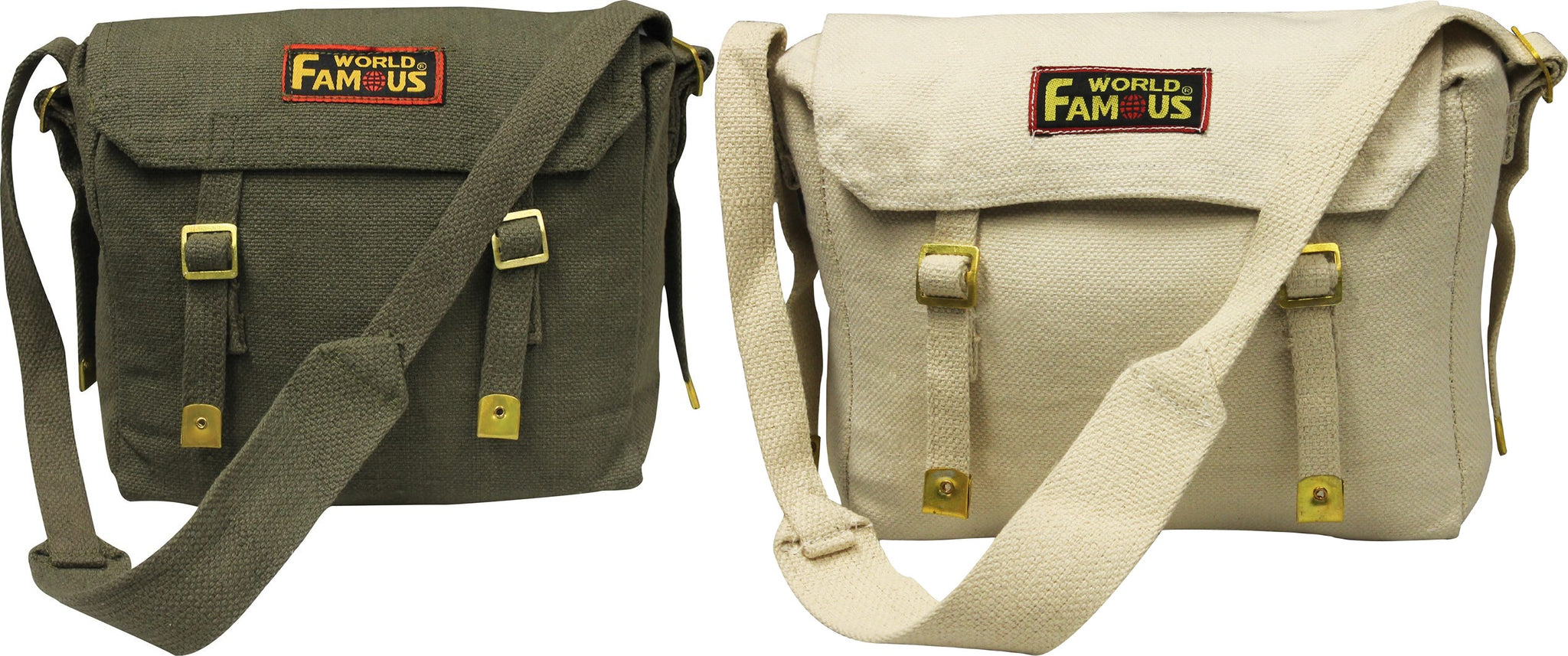
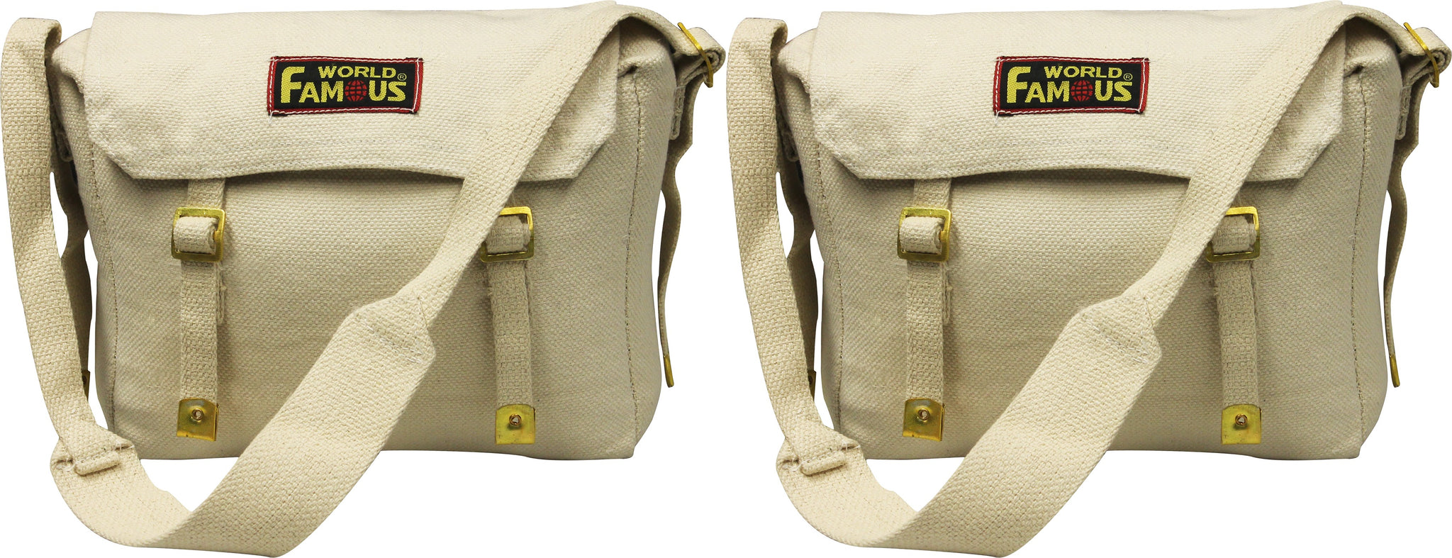
World Famous Web Haversacks - 2 Bag Value Pack
Sold Out
The World Famous Web Haversack has long been used as a grub pack or game bag. A quality, light weight shoulder bag at a great price....
View full product details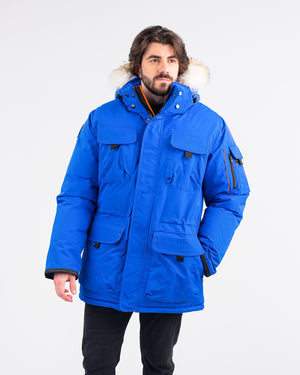


Outdoor Survival Canada OSC Men's Atka -40 Down Parka
$1,112.40 $1,236.00
The Atka -40 parka boasts one of OSC’s classic styles, with sharp detailing and a warm and stylish coyote fur removable hood. This unique combination...
View full product details