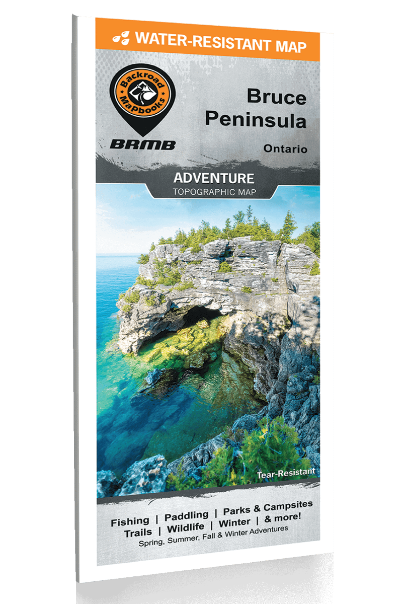
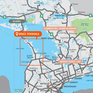
Covering the Bruce Peninsula from Owen Sound north to Tobermory in Southwestern Ontario, this recreation map features the campsites, fishing lakes and streams, hiking trails, ATV and snowmobile trails, paddling routes, access points and boat launches and countless other visitor facilities. Use for hiking, canoeing, camping, exploring, fishing, kayaking, ATVing, snowmobiling, skiing, wildlife viewing and more. With 1:10,000 water and trail data, no other map for the area provides you with this level of recreational or topographic detail. This map includes Bruce Peninsula, Owen Sound, Sauble Beach, Southampton, Tobermory, Wiarton, Bruce Peninsula National Park, Colpey's Bay, Fatom Five National Park, Georgian Bay, Lake Huron, Lion's Head, MacGregor Point Park and more!


