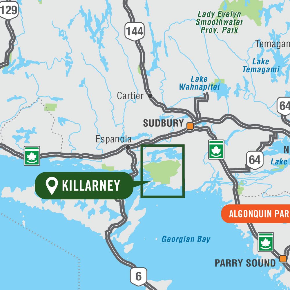
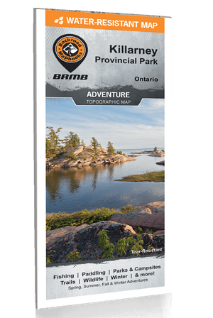
Covering Killarney Provincial Park in Northern Ontario, this map features the hiking trails, canoe routes, access points, campsites, lakes and visitor facilities. This Adventure map includes 1:10,000 water and trail data and can be used for hiking, canoeing, camping, exploring, fishing, kayaking, skiing, wildlife viewing and more! Covering 640 sq. km (247 sq. mi), this map includes Killarney Provincial Park, Killarney, Baie Fine, Bell Lake, Crooked Lake, George Lake Campground, Johnnie Lake, Kakakise Lake, La Cloche Mountains, La Cloche-Silhouette Trail, Lake Panache, Nellie Lake, Osa Lake, Threenarrows Lake and more!


